Kamen - Sveti Lenart (Krvava Peč)
Starting point: Kamen (889 m)
Starting point Lat/Lon: 45.8868°N 14.5325°E 
Time of walking: 1 h 30 min
Difficulty: easy marked way
Difficulty of skiing: no data
Altitude difference: -84 m
Altitude difference (by path): 150 m
Map:
Access to starting point:
From the southern Ljubljana bypass, we take the exit Ljubljana - Rudnik and continue driving towards Ig. At the roundabout in Ig, we continue "left" (direction exit Kurešček) and then after a few 100 m sharply right uphill (again direction Kurešček). Further, we drive on a relatively wide and ascending road which we then follow through the villages Škrilje and Golo. Higher, the road flattens a little and soon brings us into the forest, where we pay attention. Beside the road, we soon notice signs for Stara žaga, but we from here on the main road continue only a good 100 m to the next turn-off to the right. Further, we drive on the forest road which in the first crossroad we follow straight, in the second, by which we notice also a few hiking signposts, sharply right. Further, we drive on the transversely ascending road which higher turns a little to the left and then after a short descent brings us to a crossroad of several roads. We park on one of the parking spots by the road near the mentioned crossroad.
Path description:
At the crossroad, we go sharply left (looking from the direction of the described access to the starting point) and continue the ascent on the forest road which moderately ascends through the forest. After a short ascent, we come to an indistinct saddle between Lomnik (1005 m) and Božičev štand (990 m), after which the road gradually starts to descend lightly. A little further, we come to a marked crossroad, where we go right in the direction of Krvava Peč (left Kurešček) and continue on the path of couriers and signalmen. The road then starts to descend more noticeably and after some time brings us to the next crossroad. We continue right in the direction of Krvava Peč (left Repičnikovo brezno, and one of the paths to Kurešček) on the road which still descends for some time, then brings us to the Home of Veterans of the War for Slovenia.
By the home there is a logbook box with a stamp, and we continue to the nearby crossroad, from which we have two options to continue.
We continue right (straight to sv. Lenart on the road) and continue further on the road which leads us through the western part of the village. Soon signs for Krvava pečina direct us left (right foot of Krvava pečina, spring Šumnik and remains of mills and Iška Bed'n) past the garden and houses onto the grassy slope across which we continue in a transverse ascent. Higher, the path goes into a short strip of dense forest and a little further brings us to the vantage point Krvava pečina. From the vantage point, by which there is also a bench with a table, we continue left and after a short ascent step onto a macadam road, which we follow to the left, and along it in a few dozen steps we arrive at the summit, on which stands the church of St. Lenart.
On the way: Krvava Peč (732m)
Pictures:
 1
1 2
2 3
3 4
4 5
5 6
6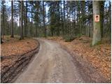 7
7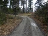 8
8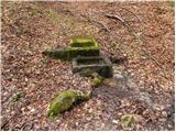 9
9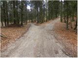 10
10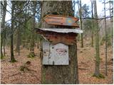 11
11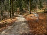 12
12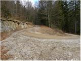 13
13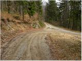 14
14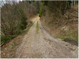 15
15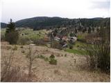 16
16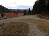 17
17 18
18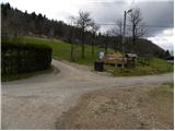 19
19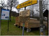 20
20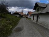 21
21 22
22 23
23 24
24 25
25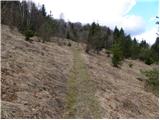 26
26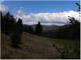 27
27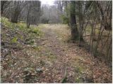 28
28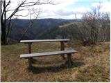 29
29 30
30 31
31 32
32 33
33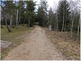 34
34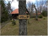 35
35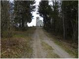 36
36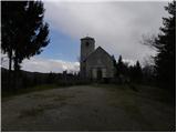 37
37 38
38