Kamnica (bus station turn-off Urban) - Sveti Urban above Maribor
Starting point: Kamnica (bus station turn-off Urban) (295 m)
Starting point Lat/Lon: 46.58726°N 15.61659°E 
Time of walking: 1 h
Difficulty: easy marked way
Difficulty of skiing: no data
Altitude difference: 300 m
Altitude difference (by path): 330 m
Map:
Access to starting point:
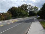
A) From the road Maribor - Dravograd, in the settlement Kamnica from the traffic light crossroad we turn right towards the center of Kamnica (from the direction Dravograd left), and then we follow the road towards Spodnja Kungota. Still before the end of the settlement Kamnica we will on the left side of the road by the bus stop notice red signposts for Sveti Urban, which point us left on a side road. At the starting point, there aren't any parking spots, therefore we park somewhere else on an appropriate place.
B) We drive to a roundabout Počehova, from which we go to the exit towards Lenart v Slov. Goricah. Towards Lenart we drive only a short time because already at the first crossroad we go right in the direction of Zgornja Kungota and Dolnja Počehova. Before we reach the highway towards Maribor we go once again in the direction of Zgornja Kungota. When we get to Spodnja Kungota, we will notice signs for Kamnica, which point us to the left. Next follows driving on a little narrower road and at first some ascent. After a smaller saddle we start descending, and lower we get to Kamnica. Through Kamnica we drive to a bus stop, where we notice signposts for Sveti Urban. At the bus stop there is the beginning of the described path, and we park somewhere else on an appropriate place.
Path description:
From the bus stop, we go on a side road in the direction of Sveti Urban. We continue on a narrower asphalt road which leads us past individual houses, and the asphalt soon ends. At a smaller macadam crossroad we go right, and then we get to the yard of the house, after which we continue on a cart track. The path ahead leads us on a cart track which is at first moderately ascending, and at the hunting observatory we continue straight on a narrow cart track which soon turns left. From the cart track, we go right on a marked path, which ascends steeper, higher we return on a cart track which we reach near the viewpoint at the decaying chapel.
Next follows a walk on a gentle cart track which crosses slopes towards the right, and after few minutes we reach a smaller ridge, where we step on the road.
We continue right, where we go past the house, and behind the house we start descending on an asphalt road. When we get to the forest, we go from the road slightly right on a parallel mountain path, on which we descend to the nearby crossroad.
From the crossroad, we continue straight and we again start ascending. Further, we go past few more houses, and then blazes point us right on a cart track, on which we continue to few minutes distant chapel, where we return on the asphalt road.
We continue right, and at the nearby crossroad, we go slightly left on the upper road (the bottom road bypasses the peak, where there is the church of St. Urban).
Next follows a shorter ascent past few houses and we get to the church of St. Urban, from which a nice view opens up towards Maribor and surrounding hills.
Description and pictures refer to a condition in October 2021.
Pictures:
 1
1 2
2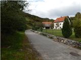 3
3 4
4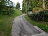 5
5 6
6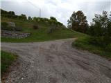 7
7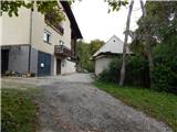 8
8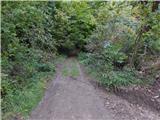 9
9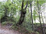 10
10 11
11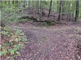 12
12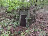 13
13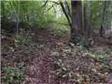 14
14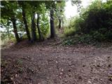 15
15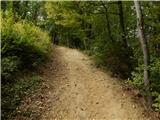 16
16 17
17 18
18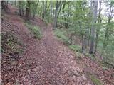 19
19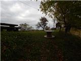 20
20 21
21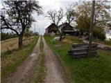 22
22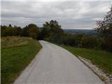 23
23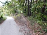 24
24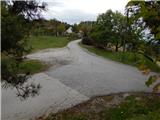 25
25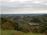 26
26 27
27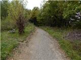 28
28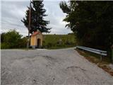 29
29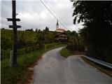 30
30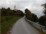 31
31 32
32 33
33 34
34 35
35 36
36 37
37 38
38