Starting point: Kamnica (293 m)
Starting point Lat/Lon: 46.0986°N 14.683°E 
Time of walking: 1 h 40 min
Difficulty: easy marked way
Difficulty of skiing: no data
Altitude difference: 543 m
Altitude difference (by path): 570 m
Map:
Access to starting point:
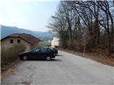
A) From highway Ljubljana - Celje we go to the exit Šentjakob and follow the road ahead towards Litija. At the store Mercator in Dolsko we turn left and on a little narrower road we drive to the parking lot by the parish church of St. Helena.
B) First, we drive to Litija, and then we continue driving towards Ljubljana. At the store Mercator in Dolsko we turn right and on a little narrower road we drive to the parking lot by the parish church of St. Helena.
Path description:
From the starting point, we start ascending and after few 10 strides, we join a bit wider road which we follow to the right. Further, we are ascending on the asphalt road which higher has some marked shortcuts, and when the hairpin turns end, we continue with the ascent on the road. Higher, the road leads us past few more hamlets and two turn-offs of the path to the left towards Murovica, and we all the time continue straight on the asphalt road. After the both turn-offs we get to the center of the settlement Zagorica pri Dolskem, where the path leads us past the birth house of baron Jurij Vega, who was born in the year 1754.
When Zagorica ends, we quickly get to the church in Križevska vas, where we continue left on the path which continues by the children's playground (sharply left - path past the farm Buven).
At the playground we notice a caption for Sveti Miklavž, which points us on the path which on the left side bypasses the playground and on the right the nearby house, after which we go on a cart track which we follow to the right. At first from the cart track opens also a nice view towards Križevska vas and surrounding hills, and then the path passes into the forest, through which it is all the time ascending on a cart track which makes few hairpin turns. Higher, we reach the ridge of Cicelj, and we continue right (left - farm Buven and Murovica), on a cart track which a little higher changes into a gradually increasingly steep footpath. When higher the path again flattens, from the right joins also the hunting path from Velika vas. Here we continue straight as well and after a minute of additional walking, we get to a forested Cicelj.
Kamnica - Križevska vas 1:00, Križevska vas - Cicelj 40 minutes.
On the way: Zagorica pri Dolskem (547m), Križevska vas (584m)
Pictures:
 1
1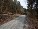 2
2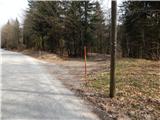 3
3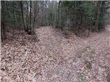 4
4 5
5 6
6 7
7 8
8 9
9 10
10 11
11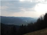 12
12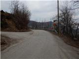 13
13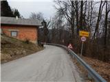 14
14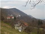 15
15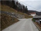 16
16 17
17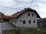 18
18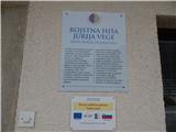 19
19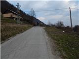 20
20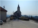 21
21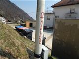 22
22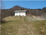 23
23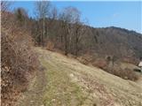 24
24 25
25 26
26 27
27 28
28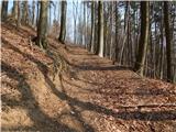 29
29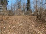 30
30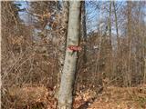 31
31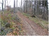 32
32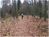 33
33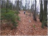 34
34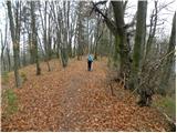 35
35 36
36