Kamnica pri Mariboru - Sveti Urban above Maribor (via Lucijin breg)
Starting point: Kamnica pri Mariboru (282 m)
Starting point Lat/Lon: 46.572°N 15.6136°E 
Path name: via Lucijin breg
Time of walking: 1 h 30 min
Difficulty: easy unmarked way
Difficulty of skiing: easily
Altitude difference: 313 m
Altitude difference (by path): 313 m
Map: Štajerska 1:75 000
Access to starting point:
A) From the direction of Ljubljana we drive to the center of Maribor, where at the large intersection on Tržaška cesta we turn in the direction of Tabor. We drive along Ulica Proleterskih brigad, past the barracks to the roundabout at shopping center Qlandia, where we turn right. We drive straight all the way to Koroški most over the Drava, which we cross and immediately at the roundabout turn right at the third exit. We continue in the direction of Dravograd and after approximately 3 km at the intersection we turn right (we have arrived in the settlement Kamnica pri Mariboru). We park in a suitable place.
B) From the direction of Dravograd we drive towards Maribor, where approximately 1 km past HE Mariborski otok at the intersection we turn left. We park in a suitable place.
Path description:
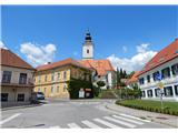
The beginning of the path is in the center of the settlement near the post office opposite the church of St. Martin. We go in the direction of Cesta v Rošpoh. We walk straight to a bus stop and house with number 43. A signpost points us left onto a narrower road among houses and ascends the hill. Higher, it turns onto a macadam road and becomes even steeper. On the top of the hill, the road turns left, after a few minutes it turns onto a cart track into the forest. After a few meters of flat terrain, it turns slightly diagonally upwards and runs across. We step out of the forest, ascending the overgrown slope upwards. The first view of Maribor and Pohorje appears.
Along the upper ridge of the hill through a meadow along a narrow strip of forest towards the north past the chapel of St. Lucija. The path goes into the forest again, we keep to the left path and begin ascending the hill again upwards, where we cross a steep slope on the south side. When the path turns towards the hill ridge again, we soon reach the highest point of Lucijin breg. Then the path descends slightly and we step out of the forest onto a meadow. The path continues along the fence, descending slightly more to a fork, where we keep to the left direction again.
We turn steeply left upwards along the edge of the forest, after a while again into the forest. On the upper part of the hill we turn left and go past a house by the forest, where we step out onto open ground again. Through a meadow upwards along the wooden fence to the forest, where we step onto a macadam road. After 10 minutes, near a farm we step out of the forest and a view opens up on Sv. Urban. Macadam turns into an asphalt road, which descends quickly. We are again at a road intersection, where we keep to the left direction. Along this road we walk steeply uphill past houses to a marker on a power pole, which directs us from the road onto a footpath, which crosses a meadow and goes into the forest again but only briefly. Out of the forest we step onto asphalt near a chapel, where we turn right. Another 10 minutes of steep walking await us to the church of Sv. Urban, where the highest point is 597 m.
Pictures:
 1
1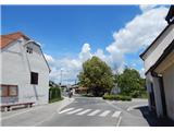 2
2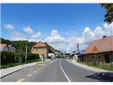 3
3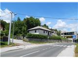 4
4 5
5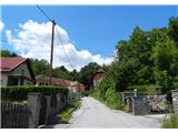 6
6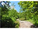 7
7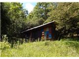 8
8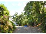 9
9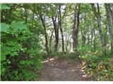 10
10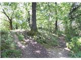 11
11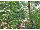 12
12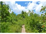 13
13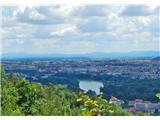 14
14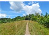 15
15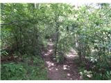 16
16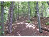 17
17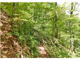 18
18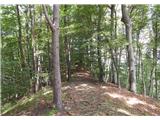 19
19 20
20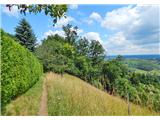 21
21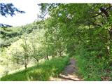 22
22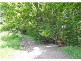 23
23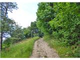 24
24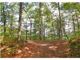 25
25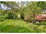 26
26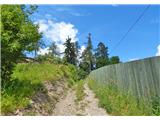 27
27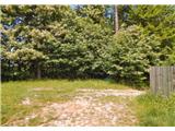 28
28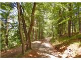 29
29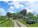 30
30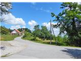 31
31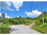 32
32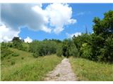 33
33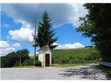 34
34 35
35