Klammbrückl - Kerschbaumeralm Schutzhaus
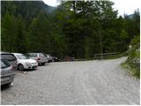
Starting point: Klammbrückl (1092 m)
Starting point Lat/Lon: 46.79024°N 12.76478°E 
Time of walking: 2 h
Difficulty: easy marked way
Difficulty of skiing: no data
Altitude difference: 810 m
Altitude difference (by path): 810 m
Map:
Access to starting point:
Through the Karawanks Tunnel, we drive to Austria, and then we continue driving towards Spittal and forward towards Lienz (a little after Spittal highway ends). Further, we drive on a relatively nice and wide road through Drau valley. In the center of Lienz, in main roundabout we continue »left« and we continue driving towards Italy (exit from the roundabout in the direction of village Leisach, Anras and Silian). Soon behind the village Leisach, we will on the left side of the road notice signposts, which point us on narrow wooden bridge over the river Drava / Drau (direction Kerschbaumer Alm, ÖTK – Schutzhaus 1902 meters). The road only a little after the bridge narrows and starts ascending steeply. The mentioned road, we follow to the parking lot at Klammbrückl.
Path description:
From the parking lot, we continue on the road which is closed for traffic. Already after few ten meters, we come to a crossroad where we continue right following the signs “ÖTK Schutzhaus”. Further, we can all the time follow mountain road or we go on a footpath which runs through the forest and later few times for a short time joins the mountain road.
When the road ends we continue on a footpath which starts ascending on the right side of the valley. The path through a thin forest brings us on little steeper slopes and then to the vantage point from where we can nicely see the waterfall Klapffall. After that, the path turns slightly to the left and gets close to mountain stream. Next follows an ascent by the stream and then the path brings us to the mountain pasture Kerschbaumer alm. The path here runs on the left side of the mountain pasture and then follows only a short ascent on a grassy slope past rare trees to the mountain hut Schutzhaus.
On the way: Klapffall (1690m)
Pictures:
 1
1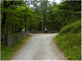 2
2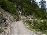 3
3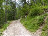 4
4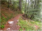 5
5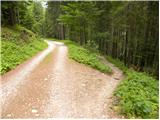 6
6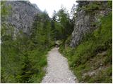 7
7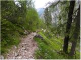 8
8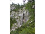 9
9 10
10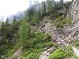 11
11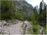 12
12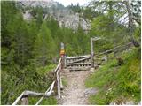 13
13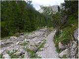 14
14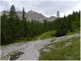 15
15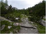 16
16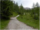 17
17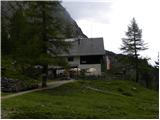 18
18