Klemenčevo - Kamniški vrh
Starting point: Klemenčevo (600 m)
Starting point Lat/Lon: 46.05146°N 14.50605°E 
Time of walking: 2 h
Difficulty: partly demanding marked way
Difficulty of skiing: no data
Altitude difference: 659 m
Altitude difference (by path): 659 m
Map:
Access to starting point:
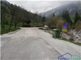
The starting point of the path is at the end of the village Klemenčevo, by the bus turning point, where the asphalt road also ends. There is a parking lot located.
Path description:
My hiker profile: a beginner with not too much fitness, but with a lot of persistence :-). Number of visits to Kamniški vrh: 2.
Before departure: do not forget a hat and gloves, because at the top it is approximately 8 degrees colder than at the starting point, and there is also a high probability that the wind will blow.
The path starts with crossing the stream Bistričica. All the time on the path, we stick to the right direction (the left paths are steeper). At first, for approximately 15 minutes, we walk through a forest that ascends moderately steeply until we reach a grassy slope or pasture. After approximately 5 minutes of walking, the first bench already awaits, from which we can enjoy the first beautiful views. The next hour: after a short ascent, we cross a grazing fence and head right. The path ascends moderately the entire time (and it just doesn’t stop :-)), until we reach the forest, where we again head right. (straight up goes a steep path above Slevška roža). At first, we cross a smaller, well-hardened scree; after a short ascent through the trees, we notice a wiiiide grassy slope, which we carefully cross (Yeah, no kidding). The slope is steep, bare, and a little caution is needed while walking on the grass. Well, we reach the next vantage point, where another bench awaits with wonderful views of the valley; in the left corner, I noticed the church of Sv. Primoža, which I often visited in autumn. Yeah, well, we mustn’t rest too much, the path is still long. Next follows approximately 10 minutes of a moderate ascent to a point where the last sign awaits. If you don’t want too much adrenaline, turn left onto the marked path. But if you feel that your heart rate hasn’t quickened enough from the path itself, then go straight upward (that’s where I climbed the first time). Well, if you turned left, you’ll face crossing a steep slope again, but this time the path goes upward, lasting about 20 minutes. Then follows 5 minutes of a steep ascent upward when you head right. First, you see the inscription box, and a little further, you reach the peak, where two benches are situated; at the back, in the lee, is a bivouac where you can change.
For the ascent, I needed 2 hours.
You can return on the same path, or you can choose a shorter, steeper, and more strenuous path for the knees. You can also extend the path by heading to the mountain Osredek. If I remember correctly, this will take you half an hour.
Pictures:
 1
1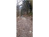 2
2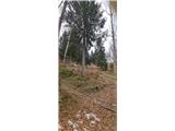 3
3 4
4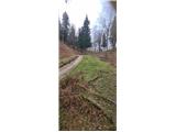 5
5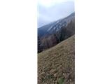 6
6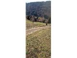 7
7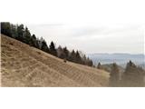 8
8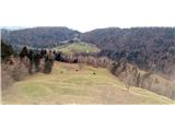 9
9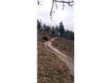 10
10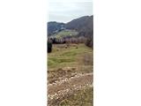 11
11 12
12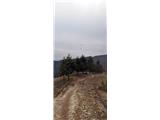 13
13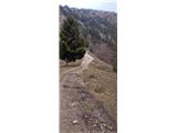 14
14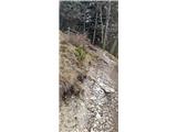 15
15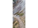 16
16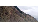 17
17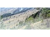 18
18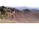 19
19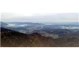 20
20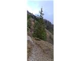 21
21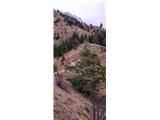 22
22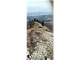 23
23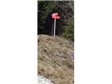 24
24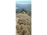 25
25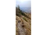 26
26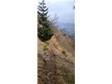 27
27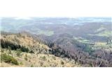 28
28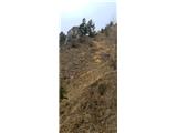 29
29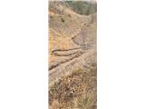 30
30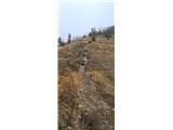 31
31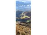 32
32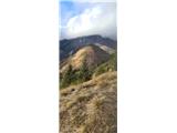 33
33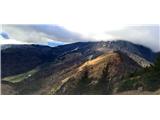 34
34