Koča na Gozdu - Tonkina koča na Vršiču
Starting point: Koča na Gozdu (1226 m)
Starting point Lat/Lon: 46.4399°N 13.7624°E 
Time of walking: 30 min
Difficulty: easy marked way
Difficulty of skiing: no data
Altitude difference: 154 m
Altitude difference (by path): 154 m
Map: Kranjska Gora 1:30.000
Access to starting point:
From Kranjska Gora over the Vršič pass we drive towards Bovec or vice versa, but only to the mountain hut Koča na Gozdu, where we park on the parking lot in front of the mountain hut.
Path description:
From the mountain hut Koča na Gozdu we continue on the Ruska cesta towards the mountain pass Vršič. After a few hairpin turns the road flattens and brings us to a larger meadow, beside which there are numerous information boards. From here we follow the asphalt road only about 100 or 200 meters, then on the left side we notice a turn-off to the old road to Vršič. At the junction there are signs for the mountain hut Poštarski dom na Vršiču and for the Tonkina koča na Vršiču a few meters away, which we also reach in a few steps of further walking.
Pictures:
 1
1 2
2 3
3 4
4 5
5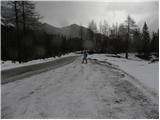 6
6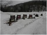 7
7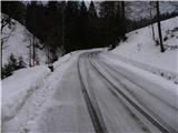 8
8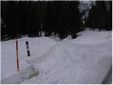 9
9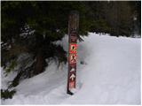 10
10 11
11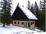 12
12