Koča na planini Stador - Kobilja glava
Starting point: Koča na planini Stador (1050 m)
Starting point Lat/Lon: 46.1905°N 13.7825°E 
Time of walking: 1 h 15 min
Difficulty: easy marked way
Difficulty of skiing: easily
Altitude difference: 425 m
Altitude difference (by path): 425 m
Map: Julijske Alpe - zahodni del 1:50.000
Access to starting point:
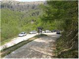
Between Most na Soči and Tolmin we notice signs for village Poljubinj, which point us on a side road on which we soon come in the mentioned village. We continue driving on an ascending road which a little higher brings us in the village Ljubinj, where we continue left in the direction of cottages on the mountain pasture Razor and mountain pasture Stador. Further, we are ascending on narrow, steep and asphalt road which after a time brings us to the parking lot by the road near the cottages on the mountain pasture Stador.
Path description:
From the parking lot, we at first walk to cottages on the mountain pasture Stador, and then we go on a footpath in the direction of Kobilja glava and Jalovnik.
From the mountain hut, the path continues between the fences, and then turns a little to the right, where it ascends a little steeper, at first over a grassy slope, and only a little after that also through a short lane of a forest. On the top of the mentioned ascent, the path brings us on a panoramic grassy ridge, from which a nice view opens up towards Tolmin. A well-marked path, ahead is ascending on a wide and partly vegetated ridge of Šprinca (1251 meters). Higher, the path passes over from a thin forest on the more and more panoramic slopes, on which we ascend on the before mentioned Šprinca, on which stands a big cairn.
We continue the ascent on a pleasant path, which a little further brings us to a lonely cottage. Further, we ascend on a moderately steep path, which with nice views brings us to a little bigger watering place for animals. We continue the ascent on a little less visible, but orientationally undemanding path, which higher brings us on the main ridge, where from the left joins an unmarked path from the mountain pasture Lom. Here we continue right and in less than 5 minutes of additional walking, we step to the summit of Kobilja glava.
On the way: Šprinca (1251m)
Pictures:
 1
1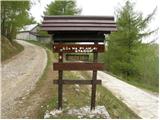 2
2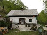 3
3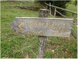 4
4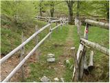 5
5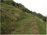 6
6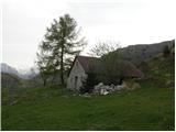 7
7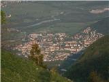 8
8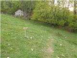 9
9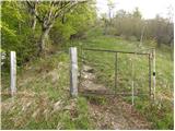 10
10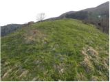 11
11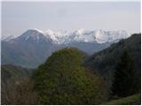 12
12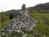 13
13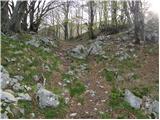 14
14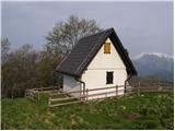 15
15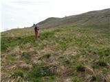 16
16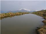 17
17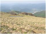 18
18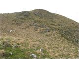 19
19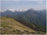 20
20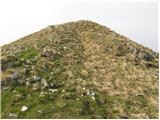 21
21 22
22