Starting point: Kocenpohar (785 m)
Starting point Lat/Lon: 46.2236°N 13.9595°E 
Time of walking: 2 h 45 min
Difficulty: easy marked way
Difficulty of skiing: demanding
Altitude difference: 1059 m
Altitude difference (by path): 1059 m
Map: Škofjeloško in Cerkljansko hribovje 1:50.000
Access to starting point:
From Tolmin or Škofja Loka we drive to the village Podbrdo (to here possible also with a train or car shuttle train from Bohinjska Bistrica), where in the center of the village, the road towards the village Bača branches off. Asphalt road which soon becomes very narrow starts to ascend steeply and it brings us to a crossroad. At the crossroad, we go to the left macadam road which is at the beginning descending, and then it starts again ascending. Still very narrow road brings us to the fence at the farm Kocenpohar. A little before the fence is small parking lot for maximum two cars, so it is better to park already a little lower.
Path description:
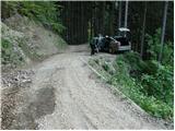
From the parking lot, we continue on a steep road to the fence which we cross and on the other side, we come to a meadow on a farm. We continue on the left side of the house on farm, still on a rough road. Our path again crosses the fence and then slightly descends to a stream, where there is a crossing of two cart tracks. We go on the left steep cart track which crosses the stream and after a shorter ascent brings us on a smaller clearing at decaying farm.
Further, we go right on a cart track which goes into the forest and is moderately ascending. Cart track after 15 minutes from decaying farm brings us on the forest road. We follow this road ahead all the way to Sedlo, where joins the path from the village Kal (road has a shortcut on a marked path).
On Sedlo we go on the path with signs for Črna prst. At first gently sloping path soon starts to ascend steeply on a steep vegetated western slope. Eventually, the path brings us on an indistinct ridge and then continues on the east slope. When the path again brings us on the ridge a beautiful view opens up. Here is situated also a smaller bench, which offers a deserved rest. The path ahead goes again in the forest and is still relatively steeply ascending. Soon the path gets closer to the vantage point, which is from the path distant only few steps. After the vantage point path soon passes out of the forest on grassy slopes of Črna prst. By the path which is becoming more and more panoramic is a lot of the mountain flowers. Because we are ascending on sunny side slopes, the ascent is in the middle of the day very strenuous so it is better to start the tour early. The path becomes a little less steep and brings us on a saddle Čez suho, where a beautiful view opens up on Bohinj side.
Here on crossing we go left and in ten minutes we reach the mountain hut Dom na Črni prsti. From the hut to the top, where there is a panoramic plate we have only few steps.
Kocenpohar - Sedlo 45 minutes, Sedlo - Črna prst 2:00.
On the way: Sedlo (985m)
Pictures:
 1
1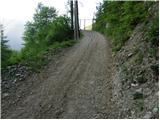 2
2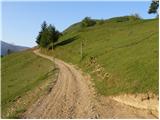 3
3 4
4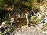 5
5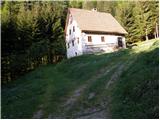 6
6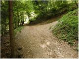 7
7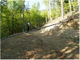 8
8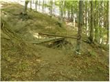 9
9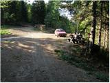 10
10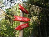 11
11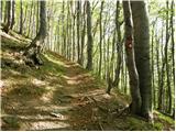 12
12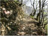 13
13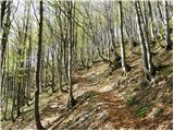 14
14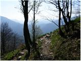 15
15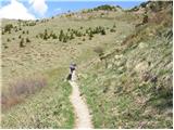 16
16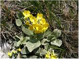 17
17 18
18 19
19 20
20 21
21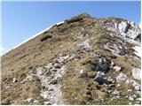 22
22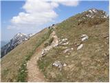 23
23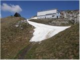 24
24 25
25