Kočna - Spominsko obeležje Aleš Kunaver
Starting point: Kočna (660 m)
Starting point Lat/Lon: 46.4179°N 14.0831°E 
Time of walking: 25 min
Difficulty: easy unmarked way
Difficulty of skiing: no data
Altitude difference: 0 m
Altitude difference (by path): 120 m
Map: TNP 1:50.000
Access to starting point:
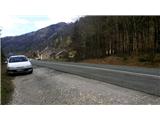
From the highway Ljubljana - Jesenice we go to the exit Lipce, where we turn left in the direction of Blejska Dobrava and Spodnje Gorje. Soon after we drive past the railway underpass, we are at the next intersection, where we turn right - Bled, Kočna. At first, a serpentine road ascends straight towards the west and soon in the left bend reaches the top or settlement Kočna. Our starting point is located on the left side of the road, a few meters before the settlement sign. Because of continuous line we drive ahead past first houses, where on the right we notice a bus stop. Here we turn around and return, almost to the bend, where we would descend back into the valley. We stop on a macadam parking lot.
Path description:
From the starting point, we go back on the road towards the settlement. After 250 meters, a few meters before the bus stop from the right we go on a narrower side asphalt road on our left, which takes us past a few houses uphill. When after the left turn the road flattens and loses the asphalt surface, it brings us to a larger meadow. We continue on the cart track, which initially holds slightly to the left and ascends slightly along the edge of the forest past the pasture on the right. Quite soon we find ourselves on the saddle between two peaks - Žerjavcem and Vršami, where there is a junction. Here we go right, specifically on the other, level forest path that crosses the northern slope of the hill Vrše (the first ascends towards the top of the hill). After a few minutes' walk on the wide and level forest path we come near a boulder on the left. About 10 meters before it, when crossing the stream we encounter a small, less noticeable branch to the left, which we take. From here the path leads past two larger rocks on an occasionally steep slope downwards, for about 50 elevation meters. After a few minutes' descent we encounter a wider forest path that crosses the slope, along which we walk to the right for just a few meters. Quite soon on one of the trees we notice a signpost with the inscription "spominsko obeležje Aleš Kunaver", which directs us left onto a less noticeable path past a cairn. After about 50 meters of walking westward we come upon a rock with the memorial plaque in the middle of the forest.
Pictures:
 1
1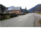 2
2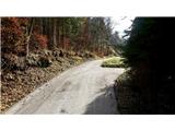 3
3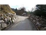 4
4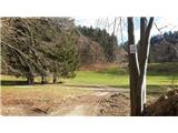 5
5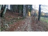 6
6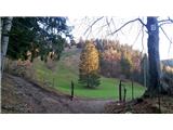 7
7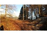 8
8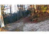 9
9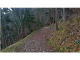 10
10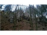 11
11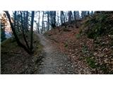 12
12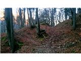 13
13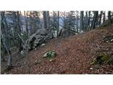 14
14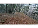 15
15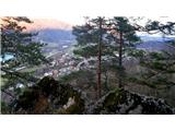 16
16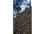 17
17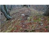 18
18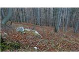 19
19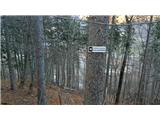 20
20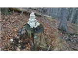 21
21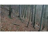 22
22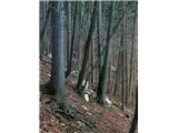 23
23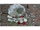 24
24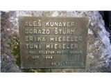 25
25