Kosmačev preval - Gogala linden tree
Starting point: Kosmačev preval (847 m)
Starting point Lat/Lon: 46.4368°N 13.9309°E 
Time of walking: 30 min
Difficulty: easy marked way
Difficulty of skiing: no data
Altitude difference: -122 m
Altitude difference (by path): 5 m
Map: Kranjska Gora 1:30.000
Access to starting point:
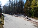
A) We leave the Gorenjska motorway at the Jesenice - West (Hrušica) exit, and then continue driving towards Kranjska Gora. Soon we will arrive at a crossroads, where signs for Mojstrana and Vrata direct us to the left onto a local road. On the road, we drive past the church of St. Klemen and a smaller ski slope, and then before the bridge over the Triglavska Bistrica we turn left onto the road which leads towards Radovna, Kot and Krma. Mojstrana soon ends, the ascending road first brings us into the TNP area, and a little further to Kosmačev preval, where the road into the Kot valley branches off to the right. We park at an appropriate place by the crossroads.
B) First, we drive to Kranjska Gora, and then continue driving towards Jesenice. After the settlement Belca we arrive at the hamlet Na Belah (part of Dovje), where we leave the main road and continue driving right in the direction of Mojstrana and Vrata. We then drive across the bridge over the Sava Dolinka river into Mojstrana, where at the next crossroads we continue left in the direction of Zgornje Radovna, Krma and Kot. After the crossroads we cross the Triglavska Bistrica, and then after a few tens of meters continue right in the direction of Radovna and Krma. Mojstrana soon ends, the ascending road first brings us into the TNP area, and a little further to Kosmačev preval, where the road into the Kot valley branches off to the right. We park at an appropriate place by the crossroads.
Path description:
From the starting point, we continue on the main road towards Zgornje Radovna and Krma. After the saddle, the road gradually starts descending and after a few minutes brings us to a crossroads, where we continue left (straight downwards to Krma, Pocarjeva domačija in Zgornje Radovna, grbinasti ravniki...) in the direction of Gogalova lipa.
Behind the crossroads the road starts to descend steeply, then it quickly flattens and past a cross brings us to Zgornje Radovna. We continue past a few houses and the Psnak inn, then between the pastures we walk to the next crossroads, which is located at the edge of the forest. From the crossroads, we again continue left in the direction of Gogalova lipa (right Bled and Krma). We continue on a narrower asphalt road, which past another homestead in a few 100 meters of additional walking brings us to Gogalova lipa at the Gogal homestead.
On the way: Gostilna Psnak (758m)
Pictures:
 1
1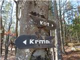 2
2 3
3 4
4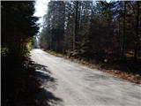 5
5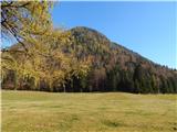 6
6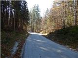 7
7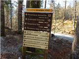 8
8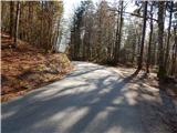 9
9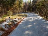 10
10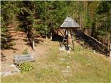 11
11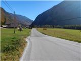 12
12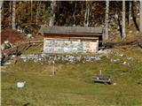 13
13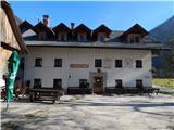 14
14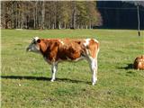 15
15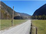 16
16 17
17 18
18 19
19 20
20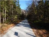 21
21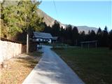 22
22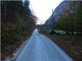 23
23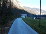 24
24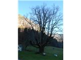 25
25 26
26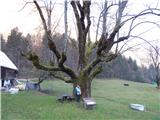 27
27