Kozarnice - Srednji Golak (via Mali Golak)
Starting point: Kozarnice (1068 m)
Starting point Lat/Lon: 45.9619°N 13.8561°E 
Path name: via Mali Golak
Time of walking: 1 h 50 min
Difficulty: easy marked way
Difficulty of skiing: partly demanding
Altitude difference: 412 m
Altitude difference (by path): 550 m
Map: Goriška 1:50.000
Access to starting point:
A) From central Slovenia at first we drive in Logatec, and then we continue driving in the direction of Idrija. In Kalce at Logatec we turn left in the direction of Col, and then we continue driving on a winding road towards Col. In Colu we turn right and then after 100 meters left in the direction of Predmeja. Further, we drive on occasionally a little narrower and also partly still winding road to Predmeja. At the end of Predmeja we turn right towards Lokve (left downwards Ajdovščina), and we follow the main road a little less than 2 km, or to the signpost for Golaki, which point us right on the forest road. At first still paved with asphalt road soon becomes a macadam, and at the first crossroad, we follow it straight, and in second to the right and then we drive approximately 100 m to a parking lot by the end of the public road.
B) From highway Razdrto - Nova Gorica we go to the exit Ajdovščina and follow the road ahead towards the village Lokavec (to Lokavec we come from the center of Ajdovščina, or from old road Ajdovščina - Nova Gorica, where at settlement Cesta we turn right). From Lokavec we continue driving on ascending winding road in the direction of Predmeja. When the road flattens a little, we come on a crossroad, where from the right side a road from Col joins, and we continue straight and follow the main road a little less than 2 km, or to the signpost for Golaki, which goes right on the forest road. At first still paved with asphalt road soon becomes a macadam, and at the first crossroad, we follow it straight, and in second to the right and then we drive approximately 100 m to a parking lot by the end of the public road.
Path description:
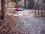
From the parking lot, we continue on a wider cart track which starts ascending steeper through the forest. The forest soon becomes thinner, and we notice by the path spruce of unusual shape, which quite reminds on the so-called Norway spruce. We continue ahead on a relatively gentle cart track which only few minutes higher joins the macadam road which we follow to the right. On the road, we walk to the first crossroad, from where we continue straight on a marked footpath, on which in 5 minutes of additional walking, we get to the mountain hut Iztokova koča pod Golaki.
We bypass the mountain hut on the right side and we continue the ascent in the direction of Mali Golak to which we have approximately 40 minutes of walking. The path ahead ascends through the forest and then at the information board and smaller chapel splits into two parts. We can continue straight on a steep, or left on the gentle path. Both paths after approximately 10 minutes joins in one, and which then turns a little more to the right, where it steeply ascends. Next a short steep ascent follows and the path brings us on forest ridge, where from the right side, the path from Predmeja joins). We continue straight and follow moderately steep path to a smaller saddle, which is located west from the main peak. Here we continue right and the path quickly brings us out of the forest in a lane of dwarf pines, through which in few minutes we ascend to the summit of Mali Golak.
From Mali Golak we continue forward on a marked path in the direction of Idrija. The path starts descending through the forest, which is in parts quite overgrown. After 15 minutes of descent path again starts ascending. The path is ascending on the ridge and partly a little below it. In some parts a nice view opens up. The path soon reaches the secondary peak of Sredni Golak. Next follows a shorter descent through dwarf pines, after that a short ascent still through dwarf pines and thin forest. When we reach the highest point, we are on Srednji Golak.
The starting point - Iztokova koča 25 minutes, Iztokova koča - Mali Golak 40 minutes, Mali Golak - Srednji Golak 45 minutes.
Pictures:
 1
1 2
2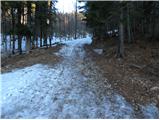 3
3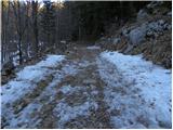 4
4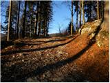 5
5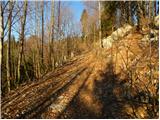 6
6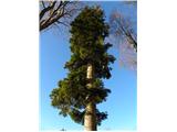 7
7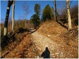 8
8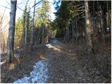 9
9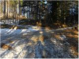 10
10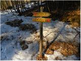 11
11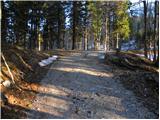 12
12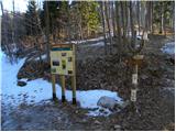 13
13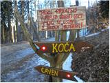 14
14 15
15 16
16 17
17 18
18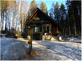 19
19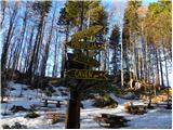 20
20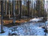 21
21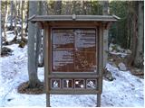 22
22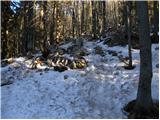 23
23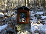 24
24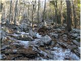 25
25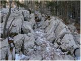 26
26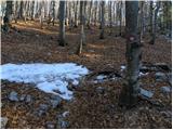 27
27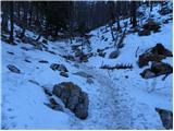 28
28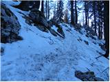 29
29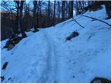 30
30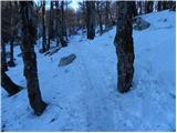 31
31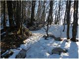 32
32 33
33 34
34 35
35 36
36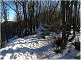 37
37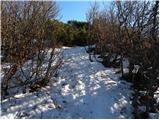 38
38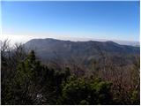 39
39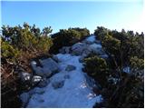 40
40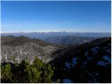 41
41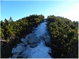 42
42 43
43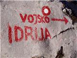 44
44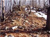 45
45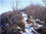 46
46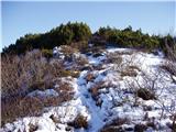 47
47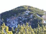 48
48 49
49