Krače - Roviškovec (east path)
Starting point: Krače (410 m)
Starting point Lat/Lon: 46.1408°N 14.9175°E 
Path name: east path
Time of walking: 1 h 30 min
Difficulty: easy marked way
Difficulty of skiing: no data
Altitude difference: 520 m
Altitude difference (by path): 530 m
Map:
Access to starting point:
A) From highway Ljubljana - Maribor, we go to the exit Trojane, and then we continue driving in the direction of Izlake and Zagorje. At the end of the settlement Izlake, we turn right towards Moravče, and we follow the road towards Moravče only a short time because we quickly turn left into the village Medija. In Medija we continue left towards Šemnik, and then right in the direction of Zasavska Sveta gora. The road then starts considerably ascending and it quickly brings us to a hamlet Krače, which is the starting point of our tour. At the starting point, there aren't any appropriate parking spots.
B) From Zasavje we at first drive to Zagorje, and then we continue driving towards Izlake. At the crossroad at the beginning of Izlake, we continue left in the direction of Moravče, and we follow the road towards Moravče only a short time because we quickly turn left into the village Medija. In Medija we continue left towards Šemnik, and then right in the direction of Zasavska Sveta gora. The road then starts considerably ascending and it quickly brings us to a hamlet Krače, which is the starting point of our tour. At the starting point, there aren't any appropriate parking spots.
Path description:
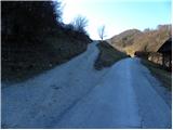
From hamlet Krače we go on a steep macadam road in the direction of Zasavska Sveta gora. The road quickly brings us on a panoramic grassy slope, where it at first turns left and then also right and then gradually changes into a wide cart track. We continue the ascent on a marked cart track which is diagonally ascending through the forest. Higher, the cart track for some time flattens, crosses a smaller stream, which in dry days dries up, and then it starts ascending a little steeper towards the nearby asphalt road.
When we reach the mentioned road, we follow it to the left, and at first, it leads past the turn-off of the path on Zasavska Sveta gora. Further, we are for some time ascending diagonally towards the left and then the road makes a sharp right turn and it brings us to the marked crossroad.
Here we continue sharply left in the direction of Pleša (straight on the road - Zasavska Sveta gora) and we follow the road for few minutes, and then signs for Roviškovec or Roviški vrh, point us sharply right on a cart track. On the cart track, we walk only for a short time because then blazes point us even a little more to the right on a marked mountain path which starts ascending diagonally through the forest. After few minutes of ascent follows a short descent, and then the path passes on the main ridge of Roviškovec, by and on which we are then ascending all the way to the top.
Pictures:
 1
1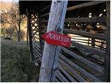 2
2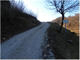 3
3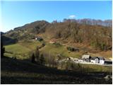 4
4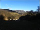 5
5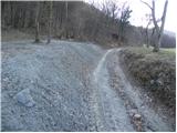 6
6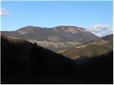 7
7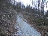 8
8 9
9 10
10 11
11 12
12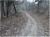 13
13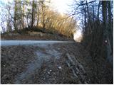 14
14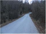 15
15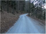 16
16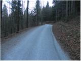 17
17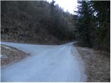 18
18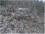 19
19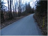 20
20 21
21 22
22 23
23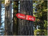 24
24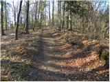 25
25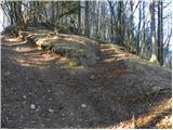 26
26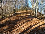 27
27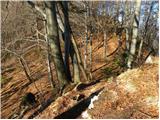 28
28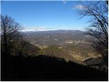 29
29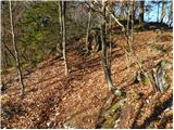 30
30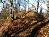 31
31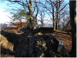 32
32 33
33