Starting point: Kranjska Gora (810 m)
Starting point Lat/Lon: 46.4863°N 13.7774°E 
Time of walking: 1 h
Difficulty: easy marked way
Difficulty of skiing: no data
Altitude difference: 35 m
Altitude difference (by path): 50 m
Map: Kranjska Gora 1:30.000
Access to starting point:
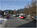
First, we drive to Kranjska Gora, then we follow the signs for the Kranjska Gora ski slopes. We park on a large parking lot at the foot of the Kranjska Gora ski slopes.
Path description:
From the parking lot, we continue on Borovška cesta, which at first continues towards the northwest, then turns a little more to the left. The asphalt road for some time continues through the forest and then brings us to the Podkoren part of the ski slopes. Here some views open up towards Srednja, Visoka and Mala Ponca and village Podkoren and part of the western Karawanks. A little further slightly to the left a walking path (road) branches off to Planica, and we walk on the asphalt road to the parking lot at the foot of the drag lift and two-seater chairlift Velika dolina. Here a little further from the end of the parking lot we continue right on a well-maintained tourist path, which descends to a footbridge over the river Sava Dolinka. On the other side of the footbridge we continue left, then for a few minutes we continue along the main road towards Rateče, walking beside it to the Zelenci snack bar.
From the snack bar we continue left on a well-maintained tourist path, on which in less than 5 minutes of additional walking we arrive at Zelenci.
Pictures:
 1
1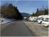 2
2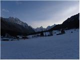 3
3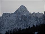 4
4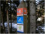 5
5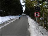 6
6 7
7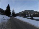 8
8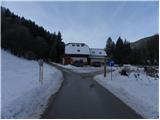 9
9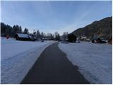 10
10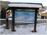 11
11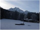 12
12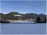 13
13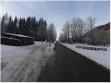 14
14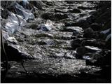 15
15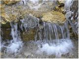 16
16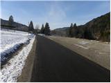 17
17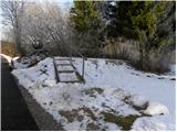 18
18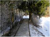 19
19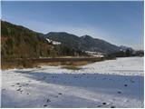 20
20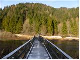 21
21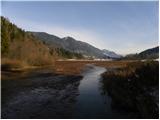 22
22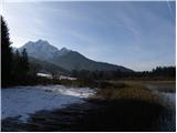 23
23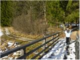 24
24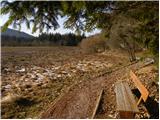 25
25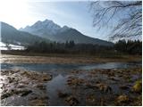 26
26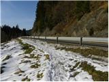 27
27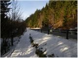 28
28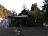 29
29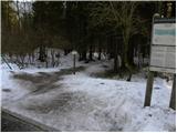 30
30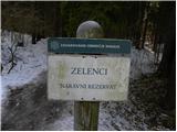 31
31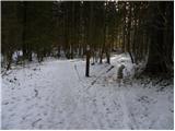 32
32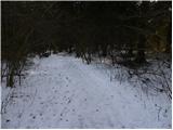 33
33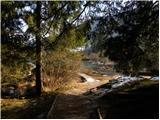 34
34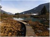 35
35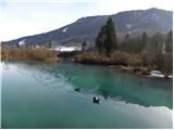 36
36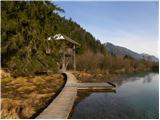 37
37