Križe - Tolsti vrh (via Ježa)
Starting point: Križe (508 m)
Starting point Lat/Lon: 46.3394°N 14.2979°E 
Path name: via Ježa
Time of walking: 3 h 30 min
Difficulty: easy marked way
Difficulty of skiing: no data
Altitude difference: 1207 m
Altitude difference (by path): 1207 m
Map: Karavanke - osrednji del 1:50.000
Access to starting point:
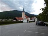
A) From the highway Ljubljana - Jesenice, take the Naklo exit, then continue driving towards the settlements Žeje, Spodnje and Zgornje Duplje to the settlement Retnje, where turn right towards the settlement Križe. Further on, drive past the NOB monument, Križe sports field to the parking lot by the cemetery and the parish church of the Exaltation of the Holy Cross.
B) From the highway Jesenice - Ljubljana, take the Podbrezje exit, then continue driving towards Ljubelj and Tržič. Before the Petrol gas station in Bistrica pri Tržiču, turn right and then drive into Tržič. When the road descends into the valley, continue sharply right in the direction of Pristava and Križe, further drive on the main road leading towards Zgornje and Spodnje Duplje, leave the aforementioned main road at the settlement Retnje, where continue left in the direction of the settlements Križe and Golnik. Further on, drive past the NOB monument, Križe sports field to the parking lot by the cemetery and the parish church of the Exaltation of the Holy Cross.
Path description:
From the parking lot, continue on the road towards the east, where the path first leads past the church, then past the post office, inn pr Benk and bakery to the crossroads at the chapel, where continue left in the direction of Pristava. The road then leads past the Tušek market Markič store, then we already notice the first hiking markers for Gozd, Kriška gora and Storžič, which lead us right onto Planinska pot street. At crossroads through the settlement, follow the blazes, then the road loses its asphalt surface and enters the forest. A few minutes higher, at the crossroads of macadam roads, continue right, then gradually emerge from the forest, from where a nice view towards Gorenjska opens up. After the panoramic section, the road becomes asphalted and brings us to the place where we join the road leading towards Gozd. Follow the road left, but walk on it only briefly, as the blazes lead right onto a cart track.
Leave the road at the small information board informing about the openness of the shelter Zavetišče v Gozdu. From the cart track, continue immediately twice left, so continue the ascent on the forest path, which soon joins another cart track, on which we return to the asphalt road in a few minutes. Walk a few steps on the road, then the path from Tržič joins from the left, and to the right the footpath or cart track towards the shelter Zavetišče v Gozdu continues (straight on the road Koča na Kriški gori - steep path).
Continue on the right path (cart track), which initially runs parallel to the road and further leads past a trough with water. A little further ahead, leave the cart track, as the blazes lead left onto a somewhat steeper path for a while, which soon returns to the cart track and then to the asphalt road. Follow the road right, walking on it for a few more minutes, or until the point where on the right side we notice a large parking lot and next to it the shelter Zavetišče v Gozdu.
From the shelter, walk to the nearby church, then arrive at a marked junction where the path from Golnik joins from the right. Continue left uphill on an increasingly poor road, which brings us to a junction in a few minutes.
Continue on the right cart track in the direction of Storžič, Tolsti vrh and Mala and Velika Poljana (left Koča na Kriški gori). The cart track, which ascends diagonally towards the east, has some junctions in the lower part, but they are well marked, so there are no major orientation problems. Higher up, the cart track turns into a gradually steeper footpath, which brings us from the forest onto panoramic grassy slopes. After a while, the path levels out and brings us to a pleasant viewpoint with a bench, next to which we notice a memorial plaque.
Further, the path crosses a steep grassy slope (danger of slipping and in winter also avalanche danger) and then enters dense forest, where we reach a marked junction. Continue left (straight Velika and Mala Poljana over Štajnarica) in the direction of Tolsti vrh and continue steeply upwards. Steep and especially when wet dangerous for slipping path, which ascends diagonally to the right, higher brings us out of the forest onto a panoramic grassy slope, where it turns slightly to the left. A few more minutes of steep ascent follow, then the path from Dom pod Storžičem and Mala Poljana joins from the right.
Continue in the direction of Tolsti vrh and continue the ascent on the still quite steep path, which through a sparse belt of forest brings us to the summit slope of the mountain. Here the path flattens slightly and brings us to the top in a few more minutes of walking.
Križe - Zavetišče v Gozdu 1:15, Zavetišče v Gozdu - Tolsti vrh 2:15.
Pictures:
 1
1 2
2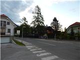 3
3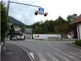 4
4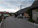 5
5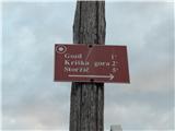 6
6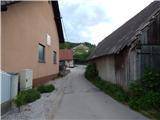 7
7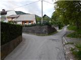 8
8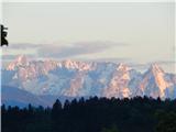 9
9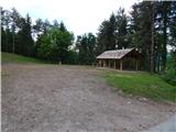 10
10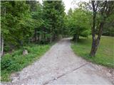 11
11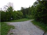 12
12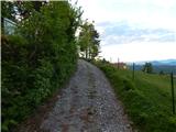 13
13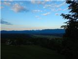 14
14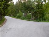 15
15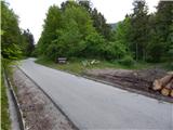 16
16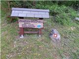 17
17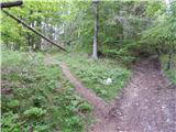 18
18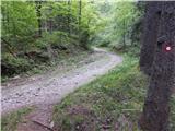 19
19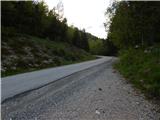 20
20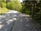 21
21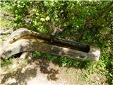 22
22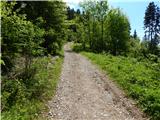 23
23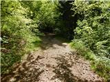 24
24 25
25 26
26 27
27 28
28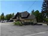 29
29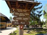 30
30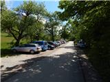 31
31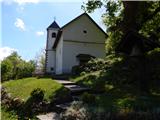 32
32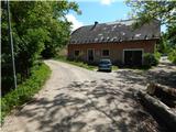 33
33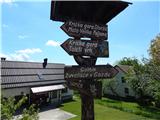 34
34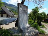 35
35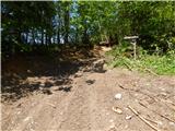 36
36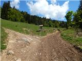 37
37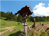 38
38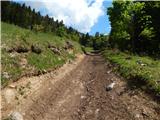 39
39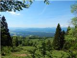 40
40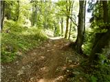 41
41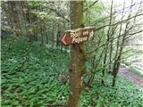 42
42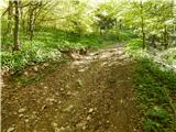 43
43 44
44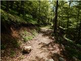 45
45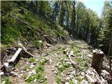 46
46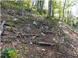 47
47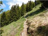 48
48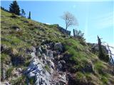 49
49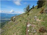 50
50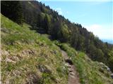 51
51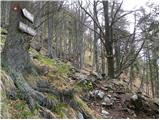 52
52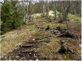 53
53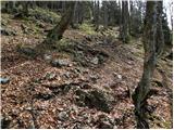 54
54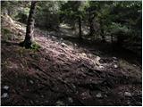 55
55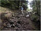 56
56 57
57 58
58 59
59 60
60 61
61 62
62 63
63 64
64 65
65 66
66 67
67 68
68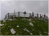 69
69 70
70