Križovec - Kahlkogel/Golica (on ridge)
Starting point: Križovec (1222 m)
Starting point Lat/Lon: 46.4699°N 14.0838°E 
Path name: on ridge
Time of walking: 2 h
Difficulty: easy unmarked way
Difficulty of skiing: no data
Altitude difference: 613 m
Altitude difference (by path): 645 m
Map: Karavanke - osrednji del 1:50.000
Access to starting point:
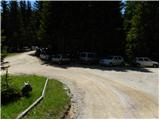
From the Ljubljana-Jesenice highway, take the Lipce exit and follow the road ahead in the direction of Jesenice. When we come to the traffic-light intersection where we join the old road, we continue right in the direction of Žirovnica. We follow this road only a short time, because at the next somewhat larger intersection (traffic lights) we continue left in the direction of Javorniški Rovt. The road then goes through the underpass (railway) and then turns left (right Koroška Bela). We follow the road that higher starts to ascend steeply in the direction of Javorniški Rovt. The road ahead runs past the Dom Pristava mountain hut (the mountain hut is a little above the road) and behind the hut we come to the next (smaller) intersection, where we go right. Ahead we drive on a macadam road all the way to Križovec, which we recognize by the intersection of several roads (by the intersection there are a few smaller parking spots and a cross).
Path description:
From Križovec we continue past the cross on the road in the direction of Pusti Rovt. The road at the beginning leads past a gate and then slightly ascends through the forest. After approximately 15 minutes of walking, the road turns left and brings us out of the forest to the lower edge of Pusti Rovt. We continue on the road to which from the right joins the marked path from Dom Pristava na Javorniškem Rovtu, which after some 10 steps of further walking brings us to the shepherd hut on Pusti Rovt.
From the shepherd hut we continue on the road, which in the upper part of Pusti Rovt turns right into the forest. A little further we come to a marked junction, where we continue left (slightly right Sedlo Kočna and Struška) on the road which ahead in a gentle ascent crosses the slopes to the left. A little further from the left also joins the path from Markljev Rovt, and the road quickly brings us to or just below Sedlo Suha.
From the road in a few steps we walk to the border ridge, then continue the ascent towards the west. Ahead, the unmarked but orientationally undemanding path starts first moderately, then steeply ascending on the grassy ridge of Mala Golica. The path bypasses the mentioned peak on the left side, then flattens and in a short descent brings us to an indistinct saddle between Mala Golica and Krvavka. The path ahead ascends again along the ridge, then withdraws to the Slovenian side, where we cross the slopes of Krvavka. A short descent follows and the path brings us to the saddle between Krvavka and Golica. From the saddle we continue briefly on the unmarked path, then join the marked path from Koča na Golici. We continue straight and follow the increasingly panoramic path all the way to the top of Golica, which we reach without major difficulties.
Pictures:
 1
1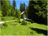 2
2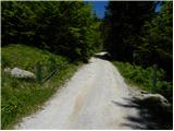 3
3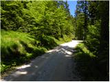 4
4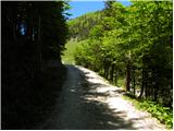 5
5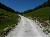 6
6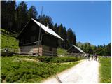 7
7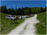 8
8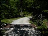 9
9 10
10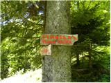 11
11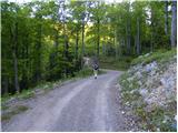 12
12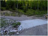 13
13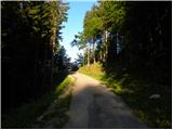 14
14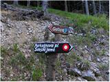 15
15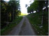 16
16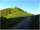 17
17 18
18 19
19 20
20 21
21 22
22 23
23 24
24 25
25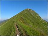 26
26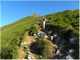 27
27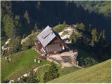 28
28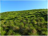 29
29 30
30 31
31 32
32 33
33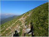 34
34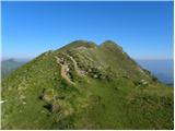 35
35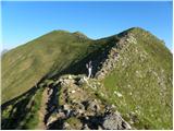 36
36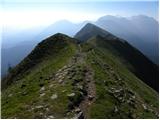 37
37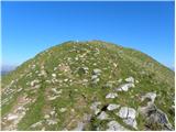 38
38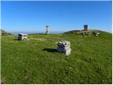 39
39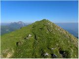 40
40 41
41