Starting point: Krog (215 m)
Starting point Lat/Lon: 45.4548°N 13.9269°E 
Time of walking: 2 h 50 min
Difficulty: easy marked way
Difficulty of skiing: no data
Altitude difference: 283 m
Altitude difference (by path): 365 m
Map: Slovenska Istra - Čičarija, Brkini in Kras 1:50.000
Access to starting point:
From highway Ljubljana - Koper we go to the exit Črni Kal. From Črni Kal we continue driving on the old road towards the coast, and we are driving there only to the next little bigger crossroad, where we turn left in the direction of border crossing Sočerga. On the mentioned road, we drive past the settlement Kubed to the village Gračišče, where at the crossroad we turn left in the direction of Rakitovec, Movraž and Smokvica. From Gračišče we drive to the village Movraž, and there we turn right in the direction of Dvori. Before the village Dvori we come to the next crossroad, where we continue sharply right (left Dvori), and on the road we drive few more 100 meters to mountain signposts, which we see by the road. We park on an appropriate place by the mountain signposts.
Path description:
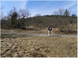
On the opposite side of the road as the signposts for natural bridge and church of St. Kirik, we notice the beginning of the footpath which leads on Lačna. We at first walk on a gentle cart track, or wide path, which quickly passes into dense lane of bushes, and then blazes point us slightly to the right on a steep footpath, on which we quickly ascend to a wide and partly rocky cart track. We then for some time continue on the mentioned cart track which at first ascends above the village Dvori, and then it gradually turns a little to the left, where higher entirely flattens. Next follows a short crossing of panoramic grassy slopes, from which a nice view opens up on Movraška vala and village Movraž. Cart track a little further brings us to other cart track, where at the crossing we continue right, and we ascend there to the nearby asphalt road.
The mentioned road, we only cross and we go in the same direction and we continue the ascent on the macadam road. Macadam road then leads us through karst meadows surrounded with numerous pine trees, and it gradually narrows and higher joins a wider macadam road. We follow the road to the left, and it quickly flattens. The road with a view on Lipnik and Kavčič quickly brings us to the next crossroad, where we again continue on the left road. Next follows a walk on a gently sloping road which a little further crosses peripheral lane of pine forest and then it brings us on entirely unvegetated plateau terrain. Here unmarked path on Tri učke branches off to the left, and we follow the macadam road for approximately 15 minutes, or to a marked crossing, where the marked path branches off to the right on Slavnik.
From the crossing, we still continue on a worse macadam road in the direction of Kuk, and it quickly changes into a wide cart track, on which in a gentle ascent, we ascend on an ample upper slope of Kuk, where there is the next marked crossing.
Here we continue in the direction of Kuk, to which we only have a minute easy and panoramic walking.
Pictures:
 1
1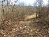 2
2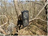 3
3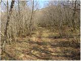 4
4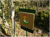 5
5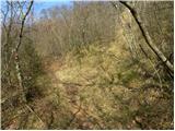 6
6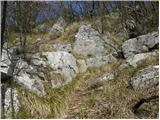 7
7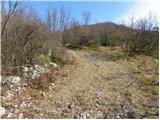 8
8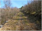 9
9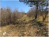 10
10 11
11 12
12 13
13 14
14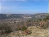 15
15 16
16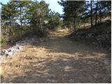 17
17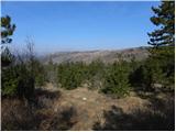 18
18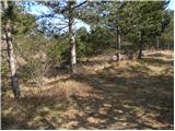 19
19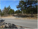 20
20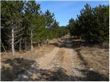 21
21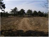 22
22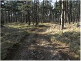 23
23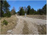 24
24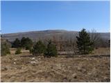 25
25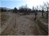 26
26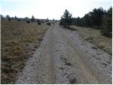 27
27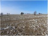 28
28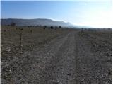 29
29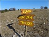 30
30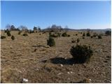 31
31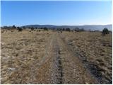 32
32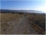 33
33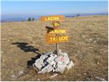 34
34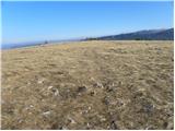 35
35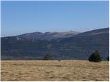 36
36 37
37 38
38