Lake Gradišče - Gradiški grič (by road)
Starting point: Lake Gradišče (355 m)
Starting point Lat/Lon: 46.1621°N 14.708°E 
Path name: by road
Time of walking: 20 min
Difficulty: easy unmarked way
Difficulty of skiing: no data
Altitude difference: 130 m
Altitude difference (by path): 130 m
Map:
Access to starting point:
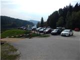
From highway Ljubljana - Maribor, we go to the exit Lukovica, and then we continue driving towards Moravče. After the crossing of Radomlje, we get to the beginning of the settlement Spodnje Prapreče, where at the crossroad we continue left in the direction of Lake Gradišče. After a short ascent, we get to a crossroad with the priority road, where we continue right towards Lake Gradišče (left Gradišče), after that only a little further, from a priority road left towards Lake Gradišče (right Preserje pri Lukovici), in front of which we then park on a large parking lot.
Path description:
From the starting point, we continue on the left, at first still asphalted road, from which we soon go sharply to the left, so that we ascend above the nearby picnic area. We continue the ascent on a quite steep macadam road which past a smaller chapel and with views on surrounding hills, brings us to the village Gradišče pri Lukovici, where at the juncture with the main road, we reach a marked path which leads from the valley.
We follow the road to the right, and there we walk also past several houses, sports field, log cabin TD Gradišče and NOB monument. At the first crossroad after the memorial we go right, and then past a religious symbol (cross), we ascend to the church of St. Marjeta.
From the church, we can ascend also on few minutes distant peak, but we have to be careful, that we don't walk on fields, and to the top, it is most appropriate to ascend by the edge of the forest, so that we don't ruin the meadows.
Description and pictures refer to a condition in the year 2016 (October).
On the way: Sveta Marjeta (Gradišče pri Lukovici) (466m)
Pictures:
 1
1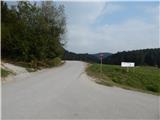 2
2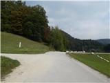 3
3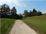 4
4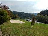 5
5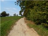 6
6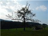 7
7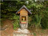 8
8 9
9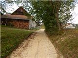 10
10 11
11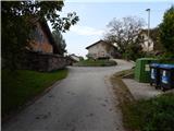 12
12 13
13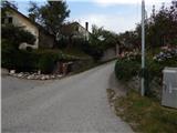 14
14 15
15 16
16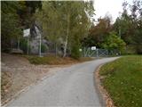 17
17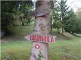 18
18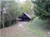 19
19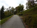 20
20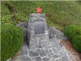 21
21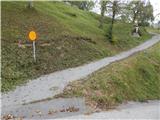 22
22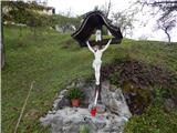 23
23 24
24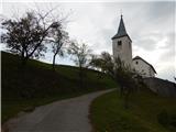 25
25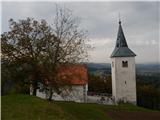 26
26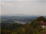 27
27 28
28 29
29