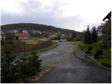
Starting point: Lašče (380 m)
Starting point Lat/Lon: 45.7918°N 14.9475°E 
Time of walking: 1 h 45 min
Difficulty: easy marked way
Difficulty of skiing: no data
Altitude difference: 508 m
Altitude difference (by path): 525 m
Map: Dolenjska, Gorjanci in Kočevski rog 1:50.000
Access to starting point:
A) From highway Ljubljana - Novo Mesto we go to the exit Ivančna Gorica and we continue driving in the direction of Žužemberk and Črnomelj. A little after Žužemberk, more precisely in the settlement Dvor, we leave the main road and we continue driving right in the direction of Kočevje. Behind the bridge through the river Krka the road starts ascending steeper, and we follow it to the village Lašče, where on a parking lot opposite of the local inn we park.
B) From highway border crossing Obrežje - Ljubljana we go to the exit Novo Mesto - east, and we continue driving to the mentioned settlement. From Novo Mesto we continue driving in the direction of Straža, Soteska and later Žužemberk. When we come to the settlement Dvor we turn left and we continue driving towards Kočevje. Behind the bridge through the river Krka the road starts ascending steeper, and we follow it to the village Lašče, where on a parking lot opposite of the local inn we park.
Path description:
A little further from the inn forest road branches off to the left, by which we notice signs for European footpath E7. We go on the mentioned road which soon loses an asphalt covering and is then moderately ascending through the forest. Higher, we come on a crossroad, where we continue on the left road, by which we notice signs for Sveti Peter. The road then flattens and out of the forest brings us on a larger clearing named Oražem. After the clearing, we come on a crossroad, where by hunting observatory we notice a sign for Sveti Peter, which point us on the right road. Even though signs shows right, we continue on the left bottom road, by which blazes continues (continuation is possible also on the right road). Left road then entirely flattens, or after a time starts even lightly descending. The mentioned road, we follow to a crossroad, where from the left joins the marked path from Podgozd. Here at Station of the Cross number 8, we continue on the right a little steeper road, from which soon a marked footpath branches off to the left, which higher crosses a road which we recently left. We continue on a cart track which ascends past next cross, and which gradually changes into a pleasant forest path. Higher, we once again cross the road, and we again continue on a cart track, and which also here changes into a footpath which higher brings us to mesh fence. The path which is further at first moderately, after that steeply ascending by the fence, we follow all the way to peak Sveti Peter, on which there is a smaller cottage and wooden lookout tower.
Pictures:
 1
1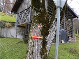 2
2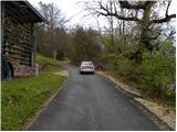 3
3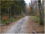 4
4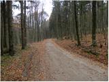 5
5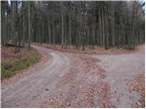 6
6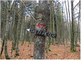 7
7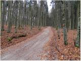 8
8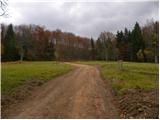 9
9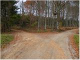 10
10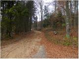 11
11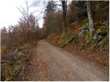 12
12 13
13 14
14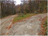 15
15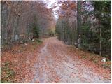 16
16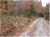 17
17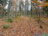 18
18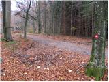 19
19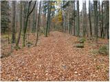 20
20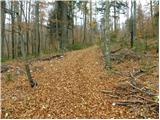 21
21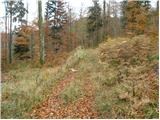 22
22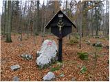 23
23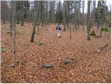 24
24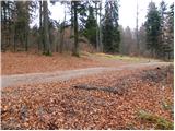 25
25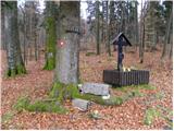 26
26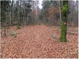 27
27 28
28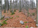 29
29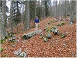 30
30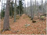 31
31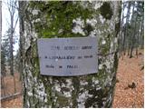 32
32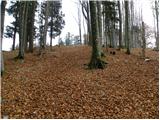 33
33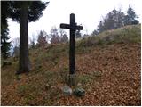 34
34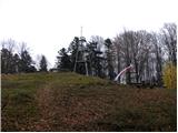 35
35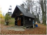 36
36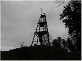 37
37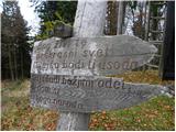 38
38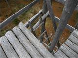 39
39 40
40