Starting point: Ledinica (484 m)
Starting point Lat/Lon: 46.0552°N 14.0993°E 
Time of walking: 1 h 50 min
Difficulty: easy marked way
Difficulty of skiing: no data
Altitude difference: 524 m
Altitude difference (by path): 550 m
Map: Škofjeloško in Cerkljansko hribovje 1:50.000
Access to starting point:
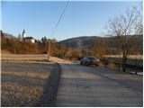
A) First, we drive to Škofja Loka, and then we continue driving towards Gorenja vas and Žiri. At the beginning of Žiri, we notice signs for Ledinica, which point us to the right on a local road which starts moderately descending. The road then flattens and brings us to the bridge over the river Poljanska Sora. After the bridge, we turn right and park on the arranged parking lot.
B) From the highway Ljubljana - Koper we go to the exit Logatec, and then we continue driving in the direction of Rovte and Žiri. We continue driving on a quite winding road which we follow to Žiri; here in the center of the town we notice signs for Ledinica, which point us to the left. Further, we drive through the industrial zone, and then we arrive at the bridge over the river Poljanska Sora. After the bridge, we turn right and park on the arranged parking lot.
Path description:
From the parking lot, we continue on a macadam road which continues parallel with the river Poljanska Sora, and we walk there only about a minute, because then blazes point us left through a meadow. On the other side of the meadow, the path starts ascending steeper, and it quickly brings us to the church of St. Anne.
Behind the church, we continue right on a cart track which starts turning more and more to the left and brings us to a marked junction. We continue on the left path in the direction of Mrzli Vrh (right Selo), and it descends to a nearby road. We continue on the road, and then we join a wider road which we follow to the right. For some time we continue the ascent on an ascending road, and then at a lonely house it changes into a cart track, on which we walk only for a short time because then blazes point us left on a footpath which ascends steeply through the forest. After a shorter steep ascent, we step onto a tractor track, and we ascend there on a forested ridge. Higher, the tractor track changes into a mountain path, and it continues on and by the ridge of Ledinski grič. Higher, the path flattens and out of the forest brings us to a nearby road, on which we descend to a crossroad. From the crossroad, we continue on an ascending road, by which we notice the blazes. Next follows an ascent on the more and more panoramic road, and with a view on Blegoš, Porezen and other peaks, we follow it to a marked junction, where the path branches off to the left upwards towards Žiri, Breznica and Mrzli vrh.
We go straight and continue on the road which starts gradually descending. After a short descent, we arrive at a marked crossroad, where we continue sharply left in the direction of Ledin (slightly right - farm Vodičar, where there is a stamp for Sivka - 1 minute).
We continue on a slightly ascending asphalt road which past a smaller monument brings us to a crossroad of multiple roads. We continue straight past the NOB monument and chapel, on a macadam road in the direction of Sivka (this is also the first sign for Sivka on the described path). For a short time we continue on the macadam road, and then blazes point us slightly to the right on a meadow, and we walk there to the edge of the forest, where we notice the next sign for Sivka. The path ahead leads into the forest, and in good 5 minutes of additional walking we reach the peak of Sivka.
On the way: Sveta Ana (Ledinica) (503m), Ledinski grič (893m)
Pictures:
 1
1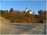 2
2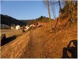 3
3 4
4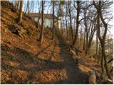 5
5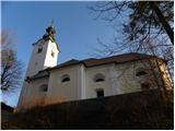 6
6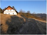 7
7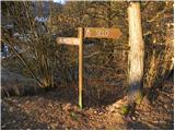 8
8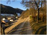 9
9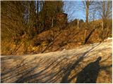 10
10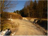 11
11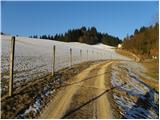 12
12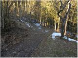 13
13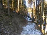 14
14 15
15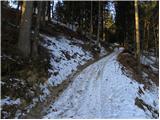 16
16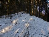 17
17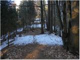 18
18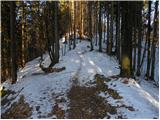 19
19 20
20 21
21 22
22 23
23 24
24 25
25 26
26 27
27 28
28 29
29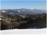 30
30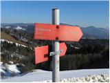 31
31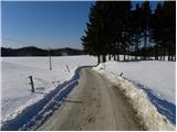 32
32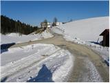 33
33 34
34 35
35 36
36 37
37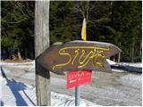 38
38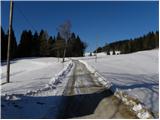 39
39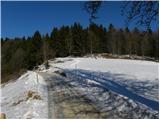 40
40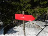 41
41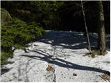 42
42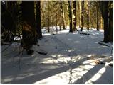 43
43 44
44 45
45