Starting point: Liboje (350 m)
Time of walking: 2 h
Difficulty: easy marked way
Difficulty of skiing: easily
Altitude difference: 586 m
Altitude difference (by path): 675 m
Map: Posavsko hribovje - zahodni del 1:50.000
Access to starting point:
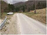
From highway Ljubljana - Maribor we go to the exit Žalec and then we drive towards Arja vas. At the crossroad at the end of the village, we continue straight in the direction of Liboje. Soon after the sign that marks the end of the village Liboje we will notice by the road a mountain signpost for Liboje. Next, we drive a few hundred meters to a smaller parking lot by the road, where the footpath to Šmohor and Malič begins. The beginning of the footpath isn't marked (if we drove to water source Ramšak, we are already too far).
Path description:
From the starting point, we turn left onto a footpath that moderately ascends through a meadow. After a few minutes of ascent, the path crosses the macadam road, where we for the first time notice a mountain signpost for Šmohor. The path then ascends to the top of a meadow, after which the path goes into the forest and after an additional few minutes of walking it brings us to a forest road, where we continue straight upwards in the direction of Šmohor. The path, which still runs through the forest, is becoming increasingly steep. After a good half an hour of walking, the steepness decreases and the path brings us to a cart track. From the cart track soon signs for Šmohor point us to the left onto the path, which after the next short ascent brings us to the forest road, where we continue right towards Šmohor. After a few meters of a light descent a marked footpath to Malič branches off to the left (right, mountain hut Dom na Šmohorju 5 min). The path then goes into the forest and ascends parallel to the road. With some ascents and descents, the path brings us to a paragliding takeoff point. Further, the path steeply ascends and along the forested western ridge of Malič quickly brings us to the summit.
Pictures:
 1
1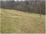 2
2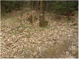 3
3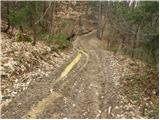 4
4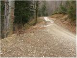 5
5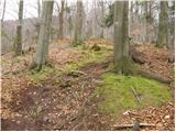 6
6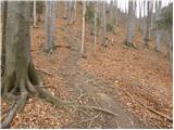 7
7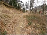 8
8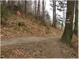 9
9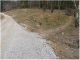 10
10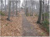 11
11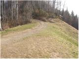 12
12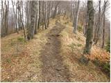 13
13 14
14