Litija (Frtica) - Sitarjevec
Starting point: Litija (Frtica) (236 m)
Time of walking: 30 min
Difficulty: easy unmarked way
Difficulty of skiing: no data
Altitude difference: 212 m
Altitude difference (by path): 212 m
Map:
Access to starting point:
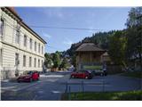
A) If we come to Litija from the direction of Ljubljana, we go over the bridge and at the intersection with the traffic lights we turn right. Approximately 100 meters ahead we turn right onto a smaller parking lot between the Litija primary school and Centromerkur where we park.
B) If we come to Litija from the direction of Zagorje, at the roundabout we take the second exit straight ahead and at the intersection with the traffic lights we turn left. Approximately 100 meters ahead we turn right onto a smaller parking lot between the Litija primary school and Centromerkur, where we park.
Path description:
From the parking lot, we continue in the direction towards the forest on the main road until we get to the green house Frtica. Right of the mentioned house there are stairs, on which we get to the forest edge, where we can also see the beginning of the path. We ascend on the path, until we get to a fork and we go right. Soon on the right we have a smaller view on Litija. After approximately ten minutes of walking there will be several paths, which will be ascending. All lead to the summit, but the main one, the widest and most beaten is only one (I recommend that we stick to this one).
On the top there is a transmitter and also a logbook.
Pictures:
 1
1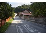 2
2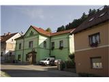 3
3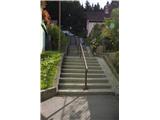 4
4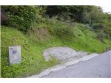 5
5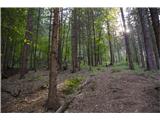 6
6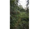 7
7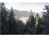 8
8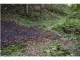 9
9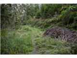 10
10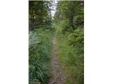 11
11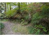 12
12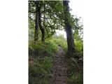 13
13 14
14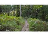 15
15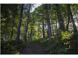 16
16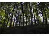 17
17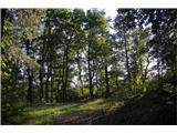 18
18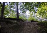 19
19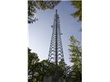 20
20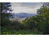 21
21 22
22