Litija (Predilnica) - Strešni vrh (Svibno)
Starting point: Litija (Predilnica) (246 m)
Time of walking: 1 h
Difficulty: easy pathless terrain
Difficulty of skiing: no data
Altitude difference: 277 m
Altitude difference (by path): 277 m
Map:
Access to starting point:
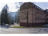
A) If we come to Litija from the direction of Ljubljana, we turn left at the traffic light, go over the bridge which leads over the railway, and at the first exit turn right at the reddish house (administration of Predilnica Litija), where we also park.
B) If we come to Litija from the direction of Zagorje, in the roundabout we go straight ahead at the second exit, drive straight through the traffic-light-controlled intersection and along the main road over the bridge on the Sava River. We arrive at the traffic light, where we drive straight over the bridge which leads over the railway, and at the first exit turn right at the reddish house (administration of Predilnica Litija), where we also park.
Path description:
The path starts next to the football field along the road, which soon splits and we turn left. After approximately five minutes of walking, we reach the edge of the forest into which a macadam road leads (sign "vodovarstveno območje"), next to it the forest path which we take. The path is well trodden, it also has signs of the forest educational trail and rare turn-offs, which are poorly visible and all lead to the summit. On the summit there is a logbook.
Pictures:
 1
1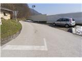 2
2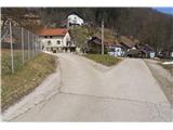 3
3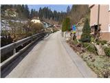 4
4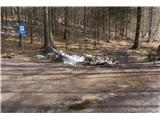 5
5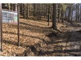 6
6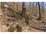 7
7 8
8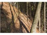 9
9 10
10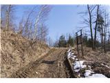 11
11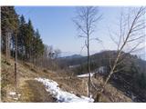 12
12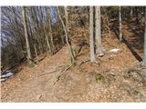 13
13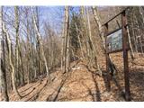 14
14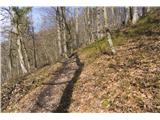 15
15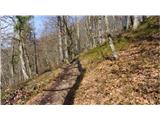 16
16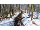 17
17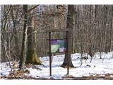 18
18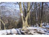 19
19