Ljubljana (Sibirija) - Koseški bajer (on PST)
Starting point: Ljubljana (Sibirija) (291 m)
Starting point Lat/Lon: 46.0305°N 14.4928°E 
Path name: on PST
Time of walking: 1 h 45 min
Difficulty: easy marked way
Difficulty of skiing: no data
Altitude difference: 16 m
Altitude difference (by path): 40 m
Map: Ljubljana - okolica 1:50.000
Access to starting point:
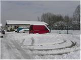
From the southern Ljubljana bypass, we head to the exit Ljubljana - Center, then at the second traffic-light intersection we turn left in the direction of the car fair, Ahotel hotel and waste disposal site. We then drive along Cesta dveh cesarjev for approximately 500 meters, then on the right side we notice the sports ground and next to it a macadam parking lot, where we park.
Path description:
From the parking lot at the sports field we walk to the nearby Mali graben (Mali graben is an artificial relief channel of the river Gradaščica and a little lower flows into the Ljubljanica), which we also cross over a smaller concrete bridge. On the other side of the bridge we continue straight and walk about 100 meters along Mokrška ulica, then we already arrive at the PST (Pot spominov in tovarištva), which we follow to the left (the path to here is not marked, further on it is marked with green-white signs with the inscription POT).
We continue the path along the mentioned trail, which for some time runs through the southern or southwestern part of Murgle. The tree-lined sandy path runs for approximately 2 km along Mali graben, then becomes asphalted and turns right towards the nearby Tržaška cesta. We only cross Tržaška cesta, then go approximately 50 m further through the underpass under the railway track. After the underpass, PST turns right and then leads us past Vič cemetery. Further, we carefully cross the main road which leads towards Dobrova, about 100 meters further also over a small wooden bridge the river (more like a stream) Gradaščica. After the bridge we cross Cesta na Vrhovce, behind which we start to ascend steeply on stairs. PST continues along the edge of meadows on the left and the residential settlement on the right side. After a short descent we also cross Cesta na Brdo, then we arrive at the landscape park Tivoli, Rožnik and Šišenski hrib. We follow the well-marked path, which continues along the edge of the mentioned park, for a few more kilometers, after which we arrive at Koseški bajer.
Pictures:
 1
1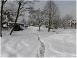 2
2 3
3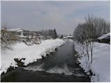 4
4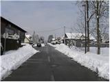 5
5 6
6 7
7 8
8 9
9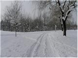 10
10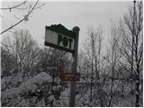 11
11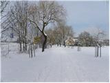 12
12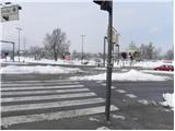 13
13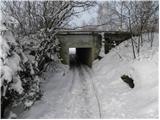 14
14 15
15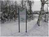 16
16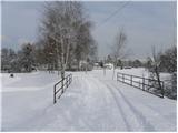 17
17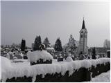 18
18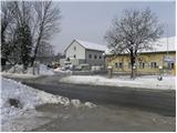 19
19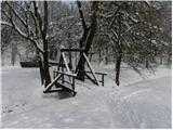 20
20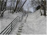 21
21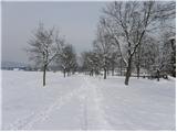 22
22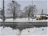 23
23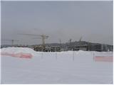 24
24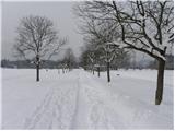 25
25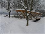 26
26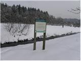 27
27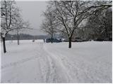 28
28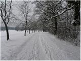 29
29 30
30 31
31 32
32 33
33 34
34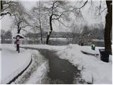 35
35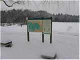 36
36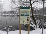 37
37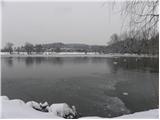 38
38 39
39