Ljubljana (Sveti Urh) - Orle
Starting point: Ljubljana (Sveti Urh) (341 m)
Starting point Lat/Lon: 46.0355°N 14.5844°E 
Time of walking: 1 h 10 min
Difficulty: easy marked way
Difficulty of skiing: no data
Altitude difference: 117 m
Altitude difference (by path): 150 m
Map: Ljubljana - okolica 1:50.000
Access to starting point:
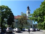
From the Ljubljana east bypass we head to the exit Ljubljana - Bizovik, and then we continue driving in the direction towards Sostro. For some time we still drive on the main road, and then we continue slightly right in the direction towards Podlipoglav. We continue driving on the road Cesta II. grupe odredov, from which soon a road branches off to the right towards Sveti Urh. We continue on the road towards Sveti Urh, to which we arrive after a short ascent. We park on the parking lot at the church.
Path description:
From the church of St. Urh we continue to the nearby monument, which we bypass on the right side. The path ahead passes into the forest, and at the crossings we follow the signs for Orle or inn Gostilnica Orle. Through the forest, we ascend gently to moderately, and occasionally we also descend for a few steps. Higher up, the path from Zadvor (in the description starting point Ljubljana (Žabja vas)) joins us from the left, and we continue on the path which passes onto the ridge of Šinkovčev hrib, where it continues on a wide cart track, at the cross we leave it and continue right, onto the path which temporarily descends a little. When the path again starts ascending, it quickly brings us to an asphalt road which we follow to the left, along which we quickly arrive at the inn Gostilnica Orle, from which a beautiful view opens up, which in good visibility reaches all the way to Triglav.
Description and pictures refer to the condition in the year 2016 (May).
Pictures:
 1
1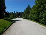 2
2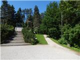 3
3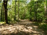 4
4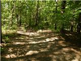 5
5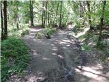 6
6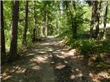 7
7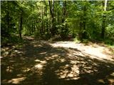 8
8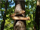 9
9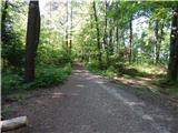 10
10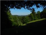 11
11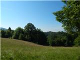 12
12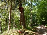 13
13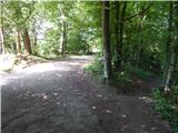 14
14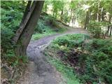 15
15 16
16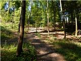 17
17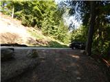 18
18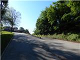 19
19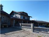 20
20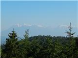 21
21 22
22