Ljutomerski ribniki - Jeruzalem (via Kumerska graba)
Starting point: Ljutomerski ribniki (185 m)
Starting point Lat/Lon: 46.5066°N 16.2001°E 
Path name: via Kumerska graba
Time of walking: 2 h
Difficulty: easy unmarked way
Difficulty of skiing: no data
Altitude difference: 153 m
Altitude difference (by path): 215 m
Map:
Access to starting point:
A) We drive to Ljutomer, then we drive towards Ormož. When Ljutomer ends, first the road branches off to the left to Podgradje, and we turn left at the next crossroad in the direction of the settlement Gresovščak (by the crossroad there are also signs for Pomurska mountain trail). The path ahead leads us along a somewhat narrower asphalt road, along which we then park in an appropriate place.
B) We drive to Ormož, then we follow the signs for Ljutomer. Further on, we drive along the railway track, and when we distance ourselves somewhat from it, we soon arrive at a crossroad, where the road branches off to the right towards the settlement Gresovščak (by the crossroad there are also signs for Pomurska mountain trail). The path ahead leads us along a somewhat narrower asphalt road, along which we then park in an appropriate place.
Path description:
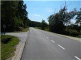
On the road we quickly arrive at Ljutomer Ponds, which the marked path bypasses on the right side. From the road the marked path soon turns right, and we walk along the road to the nearby crossroad, from where we continue left in the direction of the tourist farm Frank-Ozmec (straight to Gresovščak). The path ahead leads us between two ponds, after them we arrive at the next crossroad, where we continue right (left footpath no. 7). The path ahead leads us through the valley of Kumerska graba, where we pass the previously mentioned tourist farm. A few minutes further, when a strip of forest appears on the left and a road branches off to the right to nearby houses, we continue slightly left onto a grassy cart track that begins to ascend parallel to the main road. The cart track first leads us between a pasture on the right and a vineyard on the left, then transitions into a strip of forest and bushes. After a few minutes of diagonal ascent we reach a macadam road, along which we then ascend to the asphalt road (to here also possible along path no. 7), along it we go past the nearby house to the bus stop Ilovci, where we turn right in the direction of the Krainz viticulture.
We continue along the macadam road, which leads us past an interesting rock formation, then the path leads us partly through the forest, partly among vineyards and individual houses. After a short descent we arrive at a smaller saddle, where we go left (right dead-end road), then soon we arrive at the Krainz viticulture.
Further on we still walk along the macadam road, at two smaller crossroads we go right. A little further we arrive at a hamlet of a few houses, where temporarily we step onto asphalt. When the asphalt road turns right downward (the road descends to the ponds), we continue straight onto the macadam road, where behind the nearby house we notice signs for Jeruzalem, which direct us left. This is followed by walking along a wide cart track, the path continues to lead among vineyards, where we pass some abandoned vineyard overgrown with brambles. At a few smaller junctions we follow the wider cart track, along it after some time we reach the asphalt road and thus also the markings of the Pomurska mountain trail.
We follow the road to the left, along it after a few minutes of further walking we reach the summit of Jeruzalem.
Description and pictures refer to the condition in 2017 (August).
Pictures:
 1
1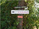 2
2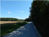 3
3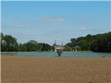 4
4 5
5 6
6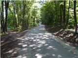 7
7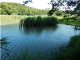 8
8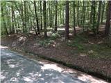 9
9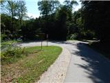 10
10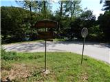 11
11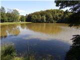 12
12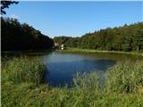 13
13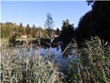 14
14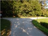 15
15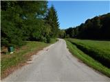 16
16 17
17 18
18 19
19 20
20 21
21 22
22 23
23 24
24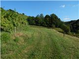 25
25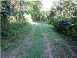 26
26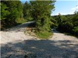 27
27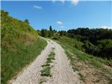 28
28 29
29 30
30 31
31 32
32 33
33 34
34 35
35 36
36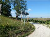 37
37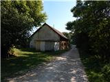 38
38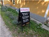 39
39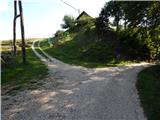 40
40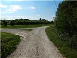 41
41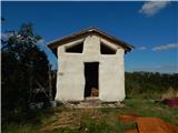 42
42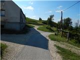 43
43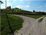 44
44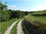 45
45 46
46 47
47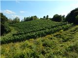 48
48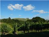 49
49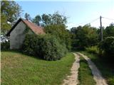 50
50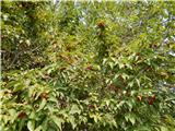 51
51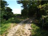 52
52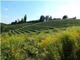 53
53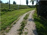 54
54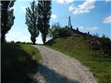 55
55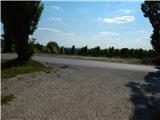 56
56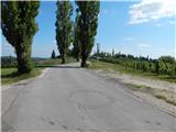 57
57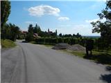 58
58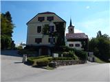 59
59 60
60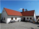 61
61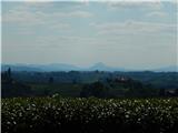 62
62