Lonice / Passo del Cason di Lanza / Lanzenpass - Zuc della Guardia (below the slopes of Monte Pizzul)
Starting point: Lonice / Passo del Cason di Lanza / Lanzenpass (1551 m)
Path name: below the slopes of Monte Pizzul
Time of walking: 1 h 10 min
Difficulty: very difficult marked way
Difficulty of skiing: no data
Altitude difference: 360 m
Altitude difference (by path): 369 m
Map:
Access to starting point:
We drive to the settlement Pontebba (Italy). To here e.g.. from Kranjska Gora and Trbiž / Tarvisio.
In Pontebba we look for turn-off for Lonice / Passo del Cason di Lanza. The turn-off or crossroad is located immediately after the turn-off for Mokrine (Nassfeld or Passo Pramolo) past which we drive in the direction of west (if we come from Slovenia).
Next follows a 16 km long asphalted, narrow and in parts very steep road. Driving to the destination on this road lasts approximately 25 minutes.
Path description:
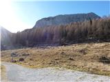
From the parking lot, we walk few ten meters on a macadam road towards the yellow building past which we turn left into the forest (past a bigger iron cross, and nearby runs also a very demanding path on Zermula 2143 meters). Through thin, mostly larch forest we come to the turn-off for direct path on Zuc della Guardia, which crosses a well. We don't cross the well and we continue towards the saddle Forca di Lanza, 1831 meters. Close to a saddle path branches off to the left, which crosses grassy slopes of Monte Pizzul. On this path we soon come to secured climbing part of the path, below which is in mountain carved military bunker from the 1st world war. Climbing path starts with ladder, and further we get help from only steel cables. The climbing part to the top is relatively short, approximately 100 meters of height, but it is very steep. The peak isn't ample, and there stands a cross.
On the way: Forca di Lanza (1831m)
Pictures:
 1
1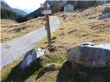 2
2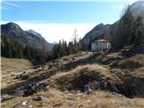 3
3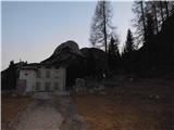 4
4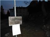 5
5 6
6 7
7 8
8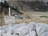 9
9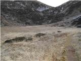 10
10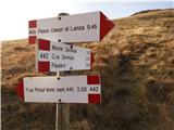 11
11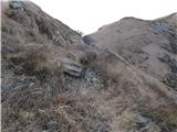 12
12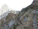 13
13 14
14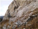 15
15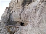 16
16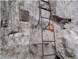 17
17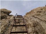 18
18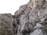 19
19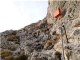 20
20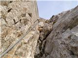 21
21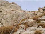 22
22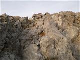 23
23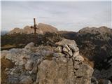 24
24