Starting point: Lontovž (950 m)
Starting point Lat/Lon: 46.0946°N 15.0631°E 
Path name: footpath
Time of walking: 40 min
Difficulty: easy marked way
Difficulty of skiing: easily
Altitude difference: 270 m
Altitude difference (by path): 270 m
Map:
Access to starting point:
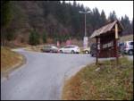
At the traffic light only a little before Trbovlje, if we drive from Ljubljana direction we turn right in the direction of Kum. And if we come from Trbovlje immediately after Trbovlje at the traffic light we turn left towards Kum. The road which is steeply ascending we follow through a village Dobovec to Lontovž, where we park on a parking lot.
Path description:
From the parking lot, we continue ahead on an asphalt road which goes into the forest. After a good 10 minutes of walking, the footpath branches off to the right on Kum.
We go on this path, which through the forest in a gentle ascent after 20 minutes brings us on the road again. When we come on the road, we go right and we follow it few meters to a meadow, where we go right. The path goes at first by the edge of a meadow, and then it goes for few meters in the forest. After that we come on the upper grassy slopes of Kum. Here we go towards the chapel, which we see in front of us. Immediately after the chapel we come on the road which we follow to the summit to which we only have few meters.
Pictures:
 1
1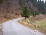 2
2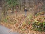 3
3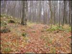 4
4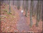 5
5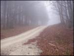 6
6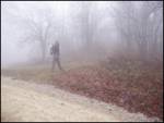 7
7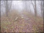 8
8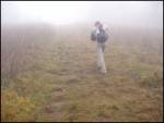 9
9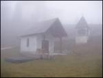 10
10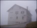 11
11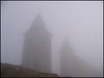 12
12