Starting point: Loščica (660 m)
Starting point Lat/Lon: 45.6814°N 14.0467°E 
Time of walking: 1 h 15 min
Difficulty: easy marked way
Difficulty of skiing: no data
Altitude difference: 367 m
Altitude difference (by path): 375 m
Map:
Access to starting point:
A) From highway Koper - Ljubljana, we go to the exit Divača, and then we continue driving towards Divača. Still before Divača, we turn right towards the settlement Dolnje Ležeče, and from there we drive further. Only few meters before we get to a crossroad, where a road towards the village Goriče pri Famljah branches off to the right, we turn left towards Vremščica. At the next crossroad, to which we get to already after few meters, we again continue left. The road then brings us on the other side of the railway track, and from there we drive on the road for approximately 3.5 km or to the spot, where to the left a short steep road branches off, by which we notice signs for Vremščica. We drive on the mentioned road and then after few 10 meters, we park on an appropriate place.
B) From highway Ljubljana - Koper we go to the exit Postojna and we follow the road ahead towards Pivka and Ilirska Bistrica. Soon after the park of military history in Pivka, the road branches off to the right towards settlements Kal, Neverke, Volče and Divača. We go on the mentioned road which we follow further in the direction of Divača. After approximately 12 km of driving from the spot, when we left the main road Pivka - Ilirska Bistrica, we will get to a smaller crossroad, where a short steep road branches off to the right, by which we notice signs for Vremščica. We drive on the mentioned road and then after few 10 meters, we park on an appropriate place.
Path description:
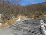
From the parking lot, we walk on the road to an old wagon converted into a bivouac, where it changes into a cart track. We continue on a marked cart track, and it is moderately ascending through the low forest. Higher, there are few smaller crossings, but if we carefully follow the blazes, there aren't any bigger problems with the orientation. Eventually the forest gets thinner and a more panoramic path brings us to a crossing, where we join the path from Matavun (Škocjan caves).
Here we continue straight or slightly right on a less distinct cart track which gradually passes into the forest and changes into an easy to follow footpath. A little higher also the path from Senožeče joins, and we continue straight and we ascend through one more lane of a forest. Higher the forest gets thinner, and an increasingly panoramic path quickly brings us to the summit of Vremščica.
Pictures:
 1
1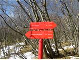 2
2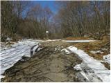 3
3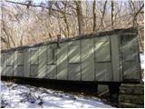 4
4 5
5 6
6 7
7 8
8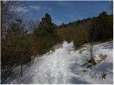 9
9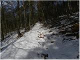 10
10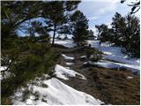 11
11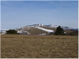 12
12 13
13 14
14 15
15 16
16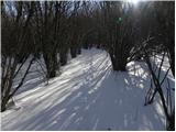 17
17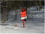 18
18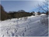 19
19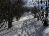 20
20 21
21 22
22 23
23 24
24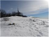 25
25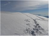 26
26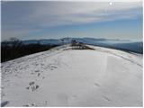 27
27 28
28