Mače - Mali Grintovec (via Bašeljski vrh)
Starting point: Mače (600 m)
Starting point Lat/Lon: 46.3131°N 14.4187°E 
Path name: via Bašeljski vrh
Time of walking: 4 h
Difficulty: easy marked way
Difficulty of skiing: demanding
Altitude difference: 1213 m
Altitude difference (by path): 1350 m
Map: Karavanke - osrednji del 1:50.000
Access to starting point:
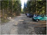
From highway Ljubljana - Jesenice we go to the exit Kranj - east and follow the road ahead in the direction of Jezersko, but only to the village Tupaliče. Here a sign for Preddvor points us left and then we follow the road in the direction of neighbouring village Mače. Through the village Mače we stick to mountain signposts for Kališče. Soon after the village we will notice a marked parking lot, where we park (further driving is forbidden).
Path description:
From the parking lot, we go back to the road which we left. We follow this road a little less than half an hour to a crossing, where we go left following the signs for Kališče. The path here crosses a stream and immediately after that steeply ascends. Already after a few minutes, the path brings us to a cart track which we immediately leave. We go on a marked footpath which goes between the two cart tracks. The path ahead moderately ascends in zig-zags. After some time, the path again brings us to a cart track. We follow it straight upwards, but only a few minutes and then we go on a footpath. The footpath in a few minutes of ascent brings us to benches on a panoramic hillock. The path then leads into the forest and at first gently ascends. This nice walk on a less steep path quickly ends. After that, the path crosses a cart track and starts ascending in zig-zags through the forest. We walk on the path ahead, which gives us a feeling that we are quickly gaining altitude. The forest is then becoming a little thinner so that here and there we can look towards Gorenjska. The path then finally brings us to the mountain pasture Kališče, where a path from the neighbouring village (Bašelj, Laško) joins from the left. From here we have only another 15 minutes of ascent again through the forest to the mountain hut Dom na Kališču.
From the hut, we continue on a wide ridge path in the direction of Storžič and Bašeljski vrh. Already after a few minutes further, the path to Bašeljski vrh branches off to the right. We go on this path, which through dwarf pines in a moderate ascent brings us to Bašeljski vrh. The last meters below the summit are in snow dangerous for slipping.
From the top, we descend towards the saddle Mačensko sedlo. This part is a little more demanding, but a snow-free path does not represent any greater dangers. The path, which descends from the summit, for the most part follows the ridge, which however is slightly exposed in places. From Mačensko sedlo onwards, the path again starts to ascend. The ascent proceeds along a grassy slope which is mostly covered with dwarf pines. Only a few steps below the summit we come to a crossing, where we go left (right Srenji vrh and Dolga njiva) and without difficulty reach the panoramic summit.
Mače - Kališče 2:30, Kališče - Bašeljski vrh 45 minutes, Bašeljski vrh - Mali Grintovec 45 minutes.
Pictures:
 1
1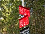 2
2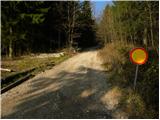 3
3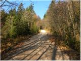 4
4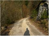 5
5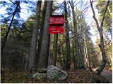 6
6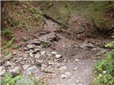 7
7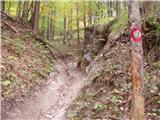 8
8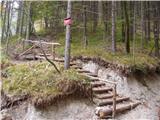 9
9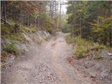 10
10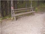 11
11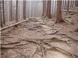 12
12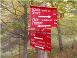 13
13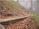 14
14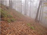 15
15 16
16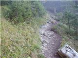 17
17 18
18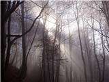 19
19 20
20 21
21 22
22 23
23 24
24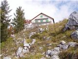 25
25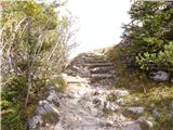 26
26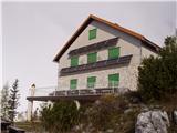 27
27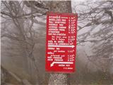 28
28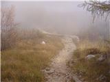 29
29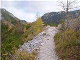 30
30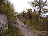 31
31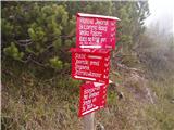 32
32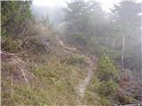 33
33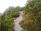 34
34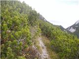 35
35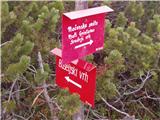 36
36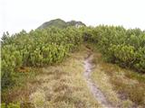 37
37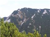 38
38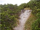 39
39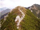 40
40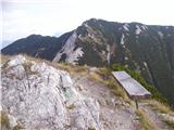 41
41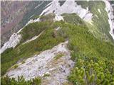 42
42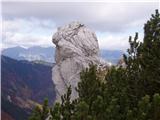 43
43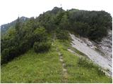 44
44 45
45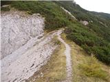 46
46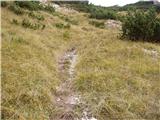 47
47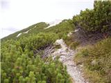 48
48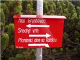 49
49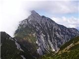 50
50 51
51