Makekova Kočna - Veliki vrh
Starting point: Makekova Kočna (945 m)
Starting point Lat/Lon: 46.3857°N 14.5043°E 
Time of walking: 2 h 15 min
Difficulty: easy marked way
Difficulty of skiing: more demanding
Altitude difference: 797 m
Altitude difference (by path): 797 m
Map: Kamniške in Savinjske Alpe 1:50.000
Access to starting point:
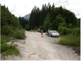
First, we drive to Preddvor or to the settlement Tupaliče (to here from Gorenjska highway or Kranj), and then we continue driving in the direction of Jezersko. When we get to Zgornje Jezersko, on part, where the road flattens, we leave the main road and we continue driving right in the direction of organic tourist farm Makek, Češka koča, Veliki vrh and waterfall Čedca (main road we leave before Petrol gas station). Immediately after the turn off from the main road at first we descend a little and then we follow the road in the direction of farm Makek. Further, the road starts ascending, and we are driving there to a smaller crossroad, where to the left the road continues towards the farm Makek, and in the direction of straight continues the road which leads further past a turn-off of the path towards the waterfall Čedca and past a turn-off of the path on Veliki vrh. We park on an appropriate place near the crossroad, namely the way we don't hinder frequent forestry work.
Path description:
From the parking lot, we continue on the right road which is slightly ascending through the forest. After a good 10 minutes of walking, we get to the sharp right turn, from which a marked path branches off to the left towards the waterfall Čedca. We continue on the road which for some time is still ascending, then higher it brings us to the spot, where we notice a mountain signpost for Veliki vrh. Here we continue left upwards on often muddy cart track, and higher it changes into a footpath which is ascending mostly through the forest (because of larger number of cart tracks the orientation is a little harder). The steepness then decreases and the path brings us on a clearing on which the path is gently ascending. The path then turns a little to the left in the forest and comes to a lonely cottage, which is situated in the middle of the forest.
Ahead we carefully follow the blazes, because due to numerous paths by the cottage we can quickly go astray. A little above the cottage path steeply ascends, and then turns towards the right and higher it brings us to avalanche ditch (in the winter time danger of avalanches). The path ahead is relatively steeply ascending on and by the ditch. Eventually, the path brings us on a ridge, where for a short time a nice view opens up (viewpoint). On the ridge, the path turns to the left and returns into the forest.
Follows the last part of the path towards the summit. This part is in parts slightly exposed, but in the dry not very dangerous (in wet great risk of slipping). A little below the summit, the path passes out of the forest on with dwarf pines vegetated slopes, which we then follow to the peak.
Pictures:
 1
1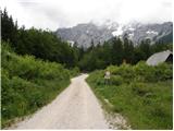 2
2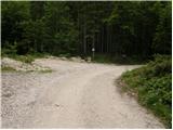 3
3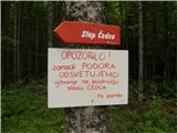 4
4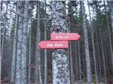 5
5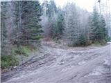 6
6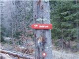 7
7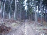 8
8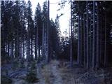 9
9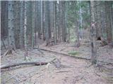 10
10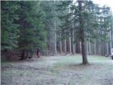 11
11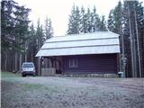 12
12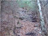 13
13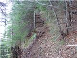 14
14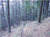 15
15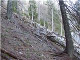 16
16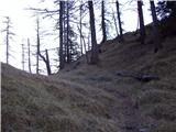 17
17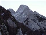 18
18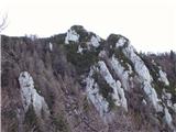 19
19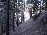 20
20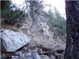 21
21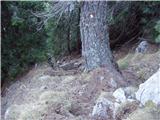 22
22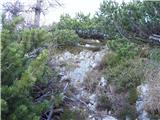 23
23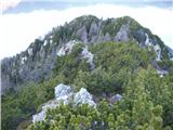 24
24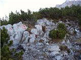 25
25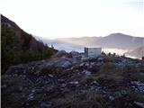 26
26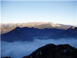 27
27