Malborghetto - Planina Strehica
Starting point: Malborghetto (760 m)
Starting point Lat/Lon: 46.50238°N 13.44048°E 
Time of walking: 2 h
Difficulty: easy marked way
Difficulty of skiing: no data
Altitude difference: 599 m
Altitude difference (by path): 605 m
Map: Julijske Alpe - zahodni del 1:50.000
Access to starting point:
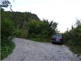
Over the border crossing Rateče or Predel we drive to Trbiž / Tarvisio, and then we continue driving on the old road towards Videm / Udine. This road we follow to the settlement Naborjet / Malborghetto. In the mentioned settlement, we turn left onto the street Via Strachizza and cross the wide riverbed of the river Fiume Fella via a narrow bridge. At the junction from the main road, there are signs for the sports field, the restaurant, and the parking lot. We continue driving on a narrow asphalt road and at the crossroads, we keep straight or slightly to the right. The road, which slightly ascends, then leads us under the highway viaduct to the other side of the highway. Here, the road turns to the right, and we continue parallel to the highway until a left turn where a sign prohibits further driving. We park near the mentioned sign.
Path description:
From the starting point, we continue on a rough macadam road that slightly ascends and leads us parallel with the nearby stream Rio Ranco. The road then crosses the stream to the right side and continues to run alongside it. We soon cross the stream again to the left side, and the road becomes steeper. The road then moves slightly away from the stream and ascends steeply, mostly through the forest.
Higher up, arrows by the path direct us left from the road onto a shortcut. The official marked path continues straight along the road. If we choose to ascend via the shortcut, we will climb steeply through the forest, and a bit higher, near a steep gully, a cairn directs us right, where we soon rejoin the mountain road.
Further on, we walk along the road, which offers beautiful views, mainly towards the Carnic Alps. This road then leads us to Planina Strehica (Malga Strechizza), where there are also a few cottages.
Description and pictures refer to conditions in September 2023.
Pictures:
 1
1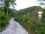 2
2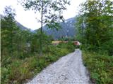 3
3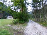 4
4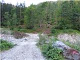 5
5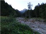 6
6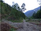 7
7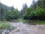 8
8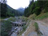 9
9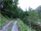 10
10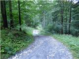 11
11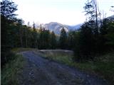 12
12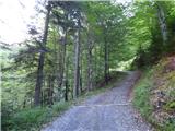 13
13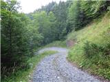 14
14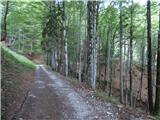 15
15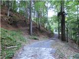 16
16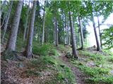 17
17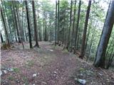 18
18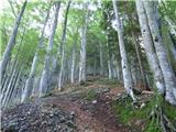 19
19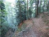 20
20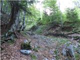 21
21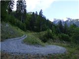 22
22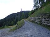 23
23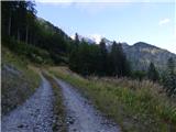 24
24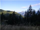 25
25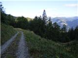 26
26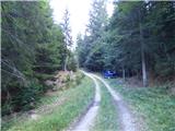 27
27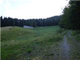 28
28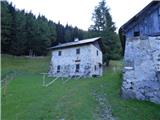 29
29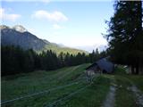 30
30