Malovše - Školj Svetega Pavla above Vrtovin
Starting point: Malovše (188 m)
Starting point Lat/Lon: 45.9046°N 13.7897°E 
Time of walking: 1 h 5 min
Difficulty: easy marked way
Difficulty of skiing: no data
Altitude difference: 332 m
Altitude difference (by path): 332 m
Map: Goriška 1:50.000
Access to starting point:
A) From the highway Razdrto - Nova Gorica, we take the exit Selo, and then continue driving in the direction of Nova Gorica, but drive on the main road only about 20 m, then turn right onto a local road, along which we soon reach the next intersection. Here we continue straight (left Črniče, right Gojače) and drive into the village of Malovše along a slightly ascending road. We park above the village, best near the cemetery.
B) From the highway or motorway Nova Gorica - Razdrto, we take the exit Selo, and then continue driving towards Nova Gorica. Further, we drive through the underpass under the motorway to the nearby entrance to the motorway. From there we continue on the main road only about 20 m, then turn right onto a local road, along which we soon reach the next intersection. Here we continue straight (left Črniče, right Gojače) and drive into the village of Malovše along a slightly ascending road. We park above the village, best near the cemetery.
Path description:
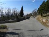
From the cemetery we head onto the right road in the direction of sv. Pavel (left Črniče) and walk along it for approximately 50 m. After 50 m the asphalt road turns slightly to the right, and we leave it right there and continue straight onto a macadam road. We walk on the macadam road for a very short time, then signs for sv. Pavel and Kucelj direct us slightly more to the left onto a partly rocky cart track. A gentle ascent follows through the forest, then we join the path from the village of Gojače.
We continue straight and ascend along a well-followable but unmarked cart track, which continues through an increasingly sparse forest, to the next marked junction. This time we continue on the left cart track (right sv. Pavel and Vrtovin), alongside which there are signs for Kucelj and sv. Pavel. Just a few 10 m higher we join a wider cart track and follow it to the right (left Črniče). Further on, we ascend along the mentioned cart track for approximately 10 minutes, then arrive at the next junction, where signs for Kucelj direct us right onto a somewhat narrower cart track, to which a path soon joins from the right, which we would have taken if somewhat lower we had continued in the direction of sv. Pavel and Vrtovina. Further we cross to the right for some time, then the path brings us to a larger trough. From here we continue for a short time through a belt of scrub, then the path brings us to the spot where we continue right in the direction of sv. Pavel (left Kucelj). The path ahead ascends through a belt of forest, then levels out and brings us to the church of sv. Pavel.
Pictures:
 1
1 2
2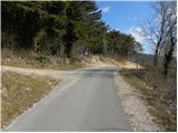 3
3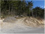 4
4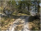 5
5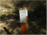 6
6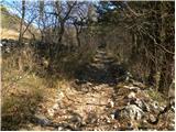 7
7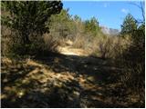 8
8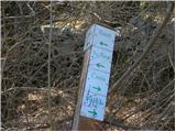 9
9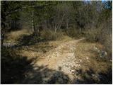 10
10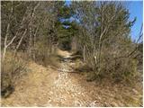 11
11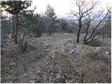 12
12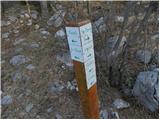 13
13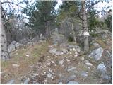 14
14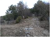 15
15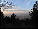 16
16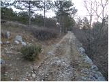 17
17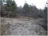 18
18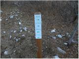 19
19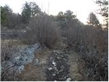 20
20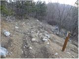 21
21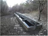 22
22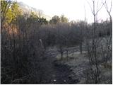 23
23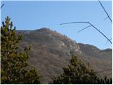 24
24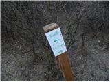 25
25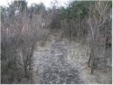 26
26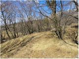 27
27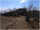 28
28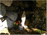 29
29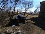 30
30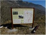 31
31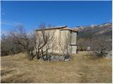 32
32 33
33