Mangartska planina - Planja (above Mangartska planina)
Starting point: Mangartska planina (1295 m)
Starting point Lat/Lon: 46.429°N 13.6102°E 
Time of walking: 45 min
Difficulty: partly demanding unmarked way
Difficulty of skiing: no data
Altitude difference: 258 m
Altitude difference (by path): 258 m
Map: Julijske Alpe - zahodni del 1:50.000
Access to starting point:
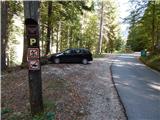
From the Bovec–Predel border crossing road, we turn onto the road towards Mangartsko sedlo and drive along it to the marked parking lot before Mangartska planina, where we park.
Path description:
From the parking lot by the edge of the mountain pasture Mangartska planina we continue straight ahead and follow the asphalt road which leads towards Mangartsko sedlo. On the asphalt road we pass two hairpin turns, then on one of the concrete pillars we notice an arrow which directs us right onto a poorly visible footpath, along which in a few minutes of ascent we reach the northwestern ridge of Planja, where the footpath becomes easier to follow. We follow the footpath to the right, on it first gently, then moderately ascending. After a few minutes the ridge becomes quite steep, and the path leads us a little to the left above the steep slope, steeply upwards. There follows a few minutes of quite steep ascent, where especially when wet there is a danger of slipping. There follows an ascent through dwarf pines, where the footpath is nicely traceable, then we reach the summit ridge, where the steepness eases. There follows a few minutes of less steep path which continues through dwarf pines, and with nice views which most often linger on mighty Mangart, we reach the indistinct summit overgrown with dwarf pines.
Description and pictures refer to the condition in 2018 (September).
Pictures:
 1
1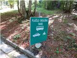 2
2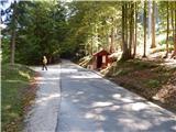 3
3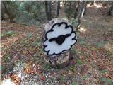 4
4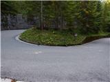 5
5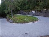 6
6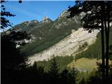 7
7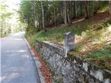 8
8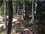 9
9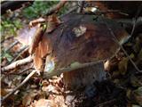 10
10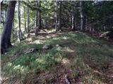 11
11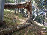 12
12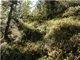 13
13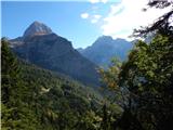 14
14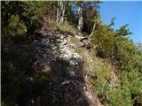 15
15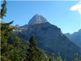 16
16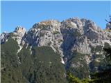 17
17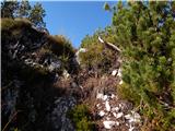 18
18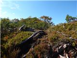 19
19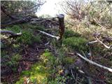 20
20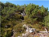 21
21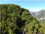 22
22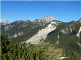 23
23 24
24 25
25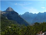 26
26