Maribor - Petnikov vrh (on path over Kozjak)
Starting point: Maribor (275 m)
Starting point Lat/Lon: 46.564°N 15.6481°E 
Path name: on path over Kozjak
Time of walking: 3 h 30 min
Difficulty: easy marked way
Difficulty of skiing: no data
Altitude difference: 328 m
Altitude difference (by path): 810 m
Map: Pohorje 1:50.000
Access to starting point:
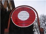
The beginning of the path can be practically in the center of the town at the beginning of Mestni park at the sign for path over Kozjak or anywhere in the park to ponds Trije ribniki.
With a car, exit Melje on the highway through Maribor and further by the railway station, at the first crossroad without traffic lights to the left on street Tomšičeva ulica, also known avenue in the direction of Ribniško selo and somewhere near the park we park a car.
Path description:
At the beginning of Mestni park, at the sign,,Pot čez Kozjak,, or at ponds Trije ribniki is the beginning of the path. We simply follow the mountain path practically from a very urban Maribor through Ribniško selo. On the top of Ribniško selo at the juncture with Vinarje right in the forest and below banks Marinov and Kaufmanov breg we simply follow a well-marked and also diverse,,beaten,, the path. We soon reach the upper part of the settlement Rošpoh, whereupon follows a descent into a valley, where we cross the road Kamnica - Kungota.
We continue by the chapel upwards, by a large homestead with orchards on an asphalt path. Sveti Urban is practically all the time visible and with great markings we easily reach the church of St. Urban
After viewing the surroundings of Sveti Urban from the crossing we continue in the direction of Gaj nad Mariborom. On a diverse, mainly asphalt path, we reach the crossing Nabašec and we continue left (to the right - Kungota). We follow the asphalt road to a crossing, where we continue straight upwards... signpost Večernik. The path in this part is a macadam/forest road and soon at the homestead Večernik (left by the path) we reach the settlement Gaj nad Mariborom, follows a light final ascent to the church of the Holy Cross
From the church, we continue downwards on the road in the direction of the cemetery in Gaj. At the juncture with the road, we turn left and after few ten meters at the first crossing we go right downwards below one of the homesteads. For a short time, we are in the forest and at the exit out of the forest at the wooden cross on the right side we go upwards on an unmarked, but partly beaten footpath to the summit, where there is from the far visible transmitter. It is mobile, so maybe it is not there anymore. The peak doesn't offer any view. The path from Sveti Križ on Petnikov vrh isn't marked.
The path measures in distance around 13.5 kilometers, 810 positive altitude meters and 480 negative altitude meters (beginning from the town park).
Pictures:
 1
1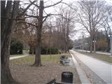 2
2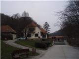 3
3 4
4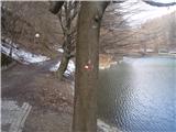 5
5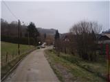 6
6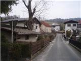 7
7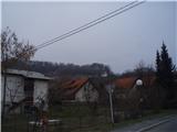 8
8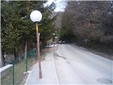 9
9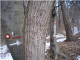 10
10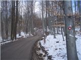 11
11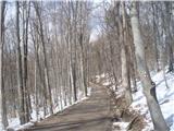 12
12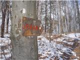 13
13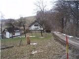 14
14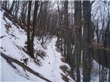 15
15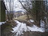 16
16 17
17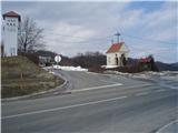 18
18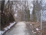 19
19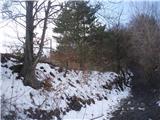 20
20 21
21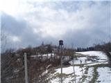 22
22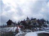 23
23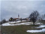 24
24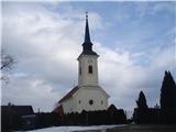 25
25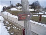 26
26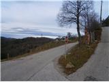 27
27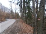 28
28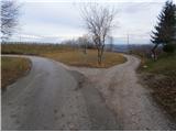 29
29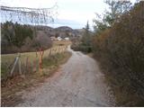 30
30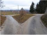 31
31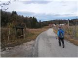 32
32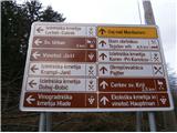 33
33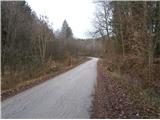 34
34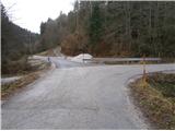 35
35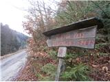 36
36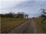 37
37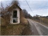 38
38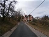 39
39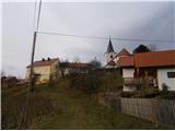 40
40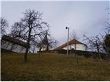 41
41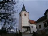 42
42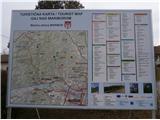 43
43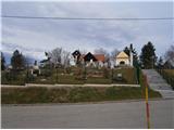 44
44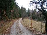 45
45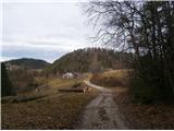 46
46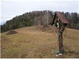 47
47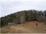 48
48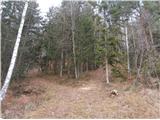 49
49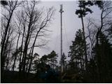 50
50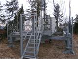 51
51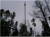 52
52