Starting point: Maribor (275 m)
Starting point Lat/Lon: 46.564°N 15.6481°E 
Time of walking: 30 min
Difficulty: easy marked way
Difficulty of skiing: no data
Altitude difference: 151 m
Altitude difference (by path): 165 m
Map: Pohorje 1:50.000
Access to starting point:
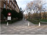
The start of the path can be practically in the center of the city at the beginning of the city park by the sign for the path over Kozjak or anywhere in the park up to the Three Ponds.
With a car, take the Melje exit on the expressway through Maribor and continuing by the railway station, at the first intersection without traffic lights turn left onto Tomšičeva ulica, also known as the avenue in the direction of Ribniško selo, and somewhere by the park we park the vehicle.
Path description:
At the beginning of the city park, at the sign "Pot čez Kozjak" or at the Three Ponds is the concrete start of the path. We simply follow the mountain path practically from urban Maribor through Ribniško selo. Halfway along Terčeva ulica the path over Kozjak turns right, while we continue straight to the end of the above-mentioned street where there are mainly row houses. At the intersection we turn left onto the walking path; right by the path are immediately the premises of KS Trije ribniki and the building of a closed grocery store. We continue in a gentle ascent upwards among houses and cottages, asphalt turns into well-compacted macadam and somewhere the summit with the chapel of St. Rozalija is mostly always in view. Before the chapel, where there is a nice viewpoint, we turn left and beside it continue through the forest higher up along a pleasant path to the highest point,...Samotni bor, the goal of the path. The summit is unmarked; it offers no views.
Pictures:
 1
1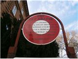 2
2 3
3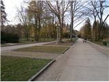 4
4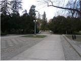 5
5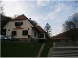 6
6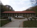 7
7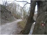 8
8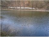 9
9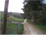 10
10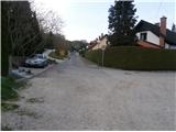 11
11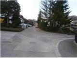 12
12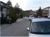 13
13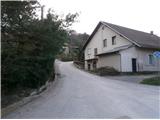 14
14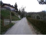 15
15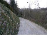 16
16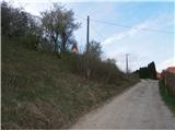 17
17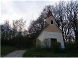 18
18 19
19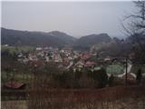 20
20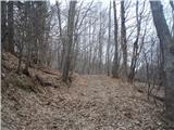 21
21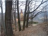 22
22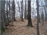 23
23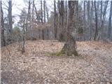 24
24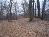 25
25