Mariborska koča - Žigartov vrh
Starting point: Mariborska koča (1086 m)
Starting point Lat/Lon: 46.50183°N 15.55649°E 
Time of walking: 1 h 40 min
Difficulty: easy marked way
Difficulty of skiing: no data
Altitude difference: 260 m
Altitude difference (by path): 300 m
Map: Pohorje 1:50.000
Access to starting point:
We leave Štajerska highway at exit for Slivnica and Rogoza, and then we follow the signs for Pohorje and Areh. The path ahead leads us through Spodnje and Zgornje Hoče, Slivniško Pohorje, and after the settlements we follow the signs for Areh, and higher signs for Mariborska koča. We park on a parking lot a little before Mariborska koča.
Path description:
From the parking lot, we walk to the mountain hut Mariborska koča, bypass it on the left side, and then continue to the right toward the Ruška koča na Arehu.
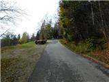
A short ascent follows, and we reach a road on which we continue the climb. The road splits slightly higher up, and we continue slightly left (slightly right toward Log and Bistrica ob Dravi). A few minutes higher, we reach a marked path leading through the Mariborski razglednik, but we turn left here and continue along a wider cart track that leads through the forest. A little further, a path branches off to the left towards hotel Zarja, but we continue straight in the direction of Ruška koča. This is followed by some diagonal ascent on the slopes of the peak Sedovec, and then we descend to a small saddle, where a path from the settlement Fram joins us.
We continue straight, mainly gently ascending along a macadam road that leads us past some burial sites. After some time, we reach the main road towards Areh, continue briefly alongside it, and then turn slightly left onto a footpath, which quickly leads us to the church of St. Areh.
From the church, we cross a meadow and we are already at Ruška koča na Arehu.
From the mountain hut, we continue right towards Žigartov vrh and we walk to an asphalt road, where we go left and then we continue on the road towards Šumik, Cojzerica and Žigartov vrh. At first the path also leads by large parking lot, and then the road goes into the forest and is lightly ascending. After approximately 10 minutes of additional walking, we get to a marked crossing, where the path branches off to the left towards the waterfall Šumik and Bajgot. We continue straight on a wider macadam road, and from which we go left about a minute ahead, because signs for Žigartov vrh point us to the left on a bad forest road, on which we ascend to the nearby ski slope. We continue by the edge of the ski slope, and higher the path goes slightly left and passes into the forest. We continue through the forest, where we follow the blazes, and such a path we follow all to a few minutes distant peak.
Mariborska koča - Ruška koča 1:10, Ruška koča - Žigartov vrh 0:30.
Description and pictures refer to a condition in March, May and November 2022.
Pictures:
 1
1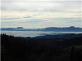 2
2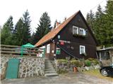 3
3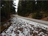 4
4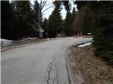 5
5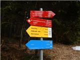 6
6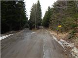 7
7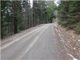 8
8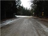 9
9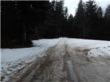 10
10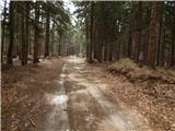 11
11 12
12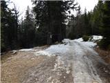 13
13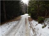 14
14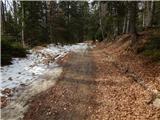 15
15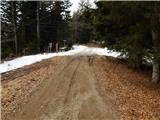 16
16 17
17 18
18 19
19 20
20 21
21 22
22 23
23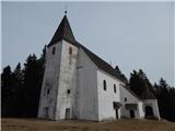 24
24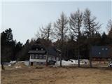 25
25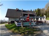 26
26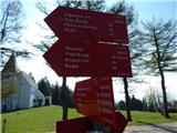 27
27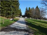 28
28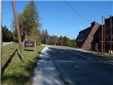 29
29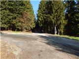 30
30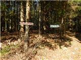 31
31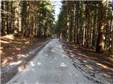 32
32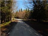 33
33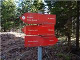 34
34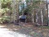 35
35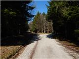 36
36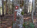 37
37 38
38 39
39 40
40 41
41 42
42 43
43 44
44 45
45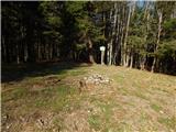 46
46 47
47