Starting point: Marno (415 m)
Starting point Lat/Lon: 46.13936°N 15.14147°E 
Time of walking: 1 h 15 min
Difficulty: easy marked way
Difficulty of skiing: no data
Altitude difference: 347 m
Altitude difference (by path): 355 m
Map:
Access to starting point:
a) We drive into Hrastnik, and then follow the signs for Celje. In the settlement Marno, we reach a crossroad where a road branches off to the right towards the settlement Turje, the cottage Koča na Kopitniku, and the Dom v Gorah. At the crossroad, there are hiking signposts, and we park at a suitable place.
b) From the road Celje - Zidani Most, in the settlement Rimske Toplice, we turn right towards Hrastnik (from the direction of Zidani Most, we turn left); towards Hrastnik, we drive to the settlement Marno, where a road branches off to the left towards the settlement Turje, the cottage Koča na Kopitniku, and the Dom v Gorah. At the crossroad, there are hiking signposts, and we park at a suitable place.
Path description:
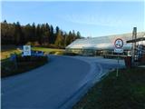
From the starting point by gardening center Napret we continue on the asphalt road towards the settlement Turje. The road quickly enters the forest, and blazes then guide us left onto a cart track, along which we shortcut a longer road bend. Higher up, we return to the road, which leads us to a crossroad before the settlement Turje.
We continue straight on a marked and fairly scenic road, which further guides us through the settlement Turje. Somewhere in the middle of the settlement, on a small hill to the left, we notice the church of St. Štefan, but we continue on the asphalt road, which also leads through the upper part of the settlement. When the houses on the right side end, at the water supply building, the marked path splits.
On the road, we continue the path towards Kopitnik, but we veer slightly right and, by the water supply building, ascend into a strip of bushes and low forest. We quickly return to the asphalt road, which we follow to the right, and soon turn left onto a marked path. A few minutes ahead, past holiday cottages and some houses, we return to the asphalt road and continue along it to the nearby crossroad, where the path splits. We continue right towards Dom v Gorah (left Kopitnik), where, after a few steps, a marked path from Koča na Kopitniku joins us from the left. A few minutes ahead, we leave the forest, and from the right, a path from Dol pri Hrastniku joins us. We continue straight and, after a short ascent, arrive at Dom v Gorah.
From the hut, we can continue past sports fields to the nearby church of St. Jurij, which is situated on a hill slightly west to northwest of the mountain hut.
Marno - Turje 0:30, Turje - Dom v Gorah 0:45.
Description and pictures refer to a condition in March 2023.
Pictures:
 1
1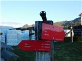 2
2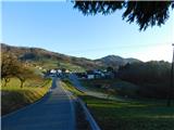 3
3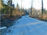 4
4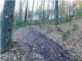 5
5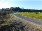 6
6 7
7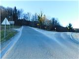 8
8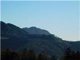 9
9 10
10 11
11 12
12 13
13 14
14 15
15 16
16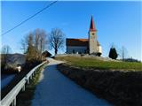 17
17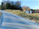 18
18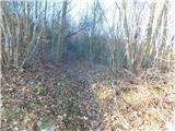 19
19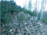 20
20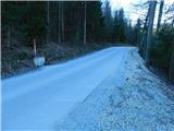 21
21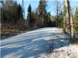 22
22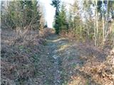 23
23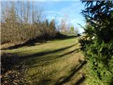 24
24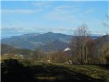 25
25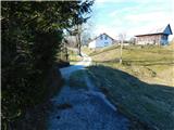 26
26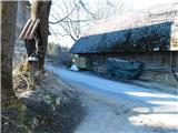 27
27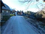 28
28 29
29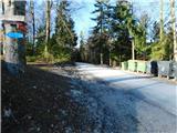 30
30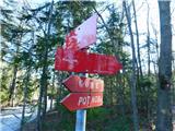 31
31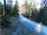 32
32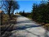 33
33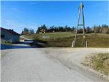 34
34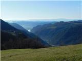 35
35 36
36 37
37 38
38 39
39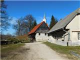 40
40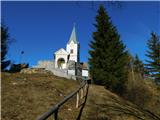 41
41 42
42