Masseris - Monte Mataiur/Matajur
Starting point: Masseris (760 m)
Starting point Lat/Lon: 46.1825°N 13.5527°E 
Time of walking: 2 h 30 min
Difficulty: easy marked way
Difficulty of skiing: partly demanding
Altitude difference: 882 m
Altitude difference (by path): 882 m
Map: Julijske Alpe - zahodni del 1:50.000
Access to starting point:
From the Tolmin–Kobarid road, in the settlement of Idrsko turn left (coming from Kobarid, turn right), where a steep road branches off towards the village of Livek. We head onto the mentioned road, which after approximately 5 km of ascent brings us to the mentioned village. We continue driving on an ever narrower road, which leads into Italy. On the other side of the border, the road starts descending, and we follow it through the villages Polava / Polava and Čepletišče / Cepletischis to a somewhat larger intersection, where we continue right in the direction of the village Matajur / Montemaggiore and mountain hut Rifugio Pelizzo. We follow the road, which further ascends relatively steeply, in the direction of the mentioned mountain hut, but we drive along it only to the beginning of the village Mašera / Masseris. Immediately behind the sign that marks the beginning of the mentioned village, we will notice on the left side of the road an appropriate space where we park.
Path description:
We continue on the asphalt road which leads through the village and after approximately 100 meters we will notice on the right side of the road signposts, which direct us right past houses and then into the forest. Further on, we ascend for quite some time through the forest, and along the path we will also notice some remains from the First World War. Such a path then brings us to a junction, where from the right side along a cart track the path from the settlement Čepletišče (Cepletischis) joins.
We continue following the signs Monte Matajur and after the ascent mostly through the forest we join the mountain road.
We continue right and ascend briefly along the road, then signposts direct us left into the forest. There follows another ascent along a trail that runs mostly through the forest, occasionally crossing some forest clearings along which huge numbers of raspberries grow. The path further runs mostly along a gentle military mule track, which in the final part brings us to another junction. Left leads the path to the Pelizzo hut, and we continue right following the signs Matajur. When the mule track ends we continue along the trail slightly right and begin to ascend the mostly grassy slope upwards. Such a path brings us to the ridge, where from the right the path from Slovenia joins.
On the ridge we continue left and begin to ascend the wide gentle ridge. We follow this path, which takes us through ever more beautiful views, to the summit of Matajur, which we can already see ahead of us.
Pictures:
 1
1 2
2 3
3 4
4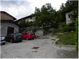 5
5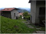 6
6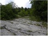 7
7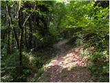 8
8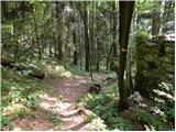 9
9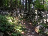 10
10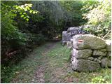 11
11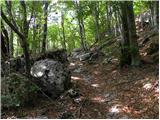 12
12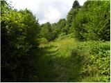 13
13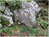 14
14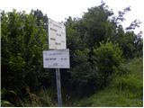 15
15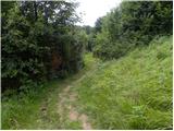 16
16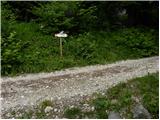 17
17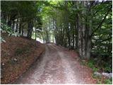 18
18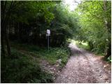 19
19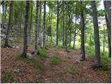 20
20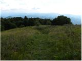 21
21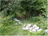 22
22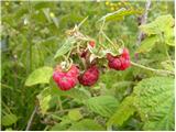 23
23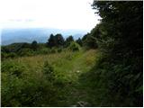 24
24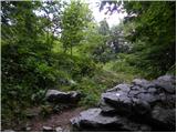 25
25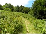 26
26 27
27 28
28 29
29 30
30 31
31 32
32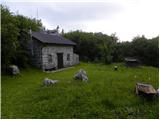 33
33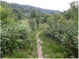 34
34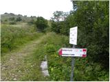 35
35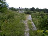 36
36 37
37 38
38 39
39 40
40 41
41 42
42 43
43 44
44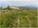 45
45 46
46 47
47