Matevljek - Petelinjek (via Votla stena)
Starting point: Matevljek (840 m)
Starting point Lat/Lon: 45.6866°N 14.5732°E 
Path name: via Votla stena
Time of walking: 1 h 20 min
Difficulty: partly demanding marked way, easy unmarked way
Difficulty of skiing: no data
Altitude difference: 372 m
Altitude difference (by path): 415 m
Map:
Access to starting point:
A) From the road Ljubljana - Kočevje at the settlement Žlebič we turn onto the road in the direction of Sodražica. In Sodražica we leave the main road and continue driving in the direction of the settlement Hrib - Loški potok. Further we drive on an initially ascending and quite winding road, which we follow to the earlier mentioned settlement. When the road from Nova vas na Blokah joins from the right, we continue straight, then at the next crossroad right in the direction of Srednja vas. Here the road starts descending steeper, and a little lower at the next crossroad we continue straight in the direction of Šegova vas. In Šegova vas we choose the left road, then past a few houses we ascend onto extensive meadows, through which we arrive at the hamlet Matevljek. Above the hamlet the road loses its asphalt covering and gradually passes into the forest. When we get to a crossroad of multiple roads, we park on an appropriate place at the crossroad. We park in a way that we do not hinder possible forestry work.
B) From the highway Ljubljana - Koper we turn onto the exit Unec, then continue driving towards Cerknica and further to Nova vas. In Nova vas, at an indistinct but still well-marked crossroad, we continue straight on the road in the direction of Sodražica, then after approximately 1 km of additional driving right in the direction of Studenec na Blokah. At the next crossroads we follow the road in the direction of the settlement Hrib - Loški potok. When we join the road from Sodražica we continue straight, then at the next crossroad right in the direction of Srednja vas. Here the road starts descending steeper, and a little lower at the next crossroad we continue straight in the direction of Šegova vas. In Šegova vas we choose the left road, then past a few houses we ascend onto extensive meadows, through which we arrive at the hamlet Matevljek. Above the hamlet the road loses its asphalt covering and gradually passes into the forest. When we get to a crossroad of multiple roads, we park on an appropriate place at the crossroad. We park in a way that we do not hinder possible forestry work.
Path description:
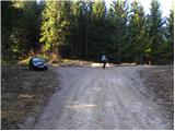
From the crossroad where we parked we continue on the upper right road (looking in the direction of access to the starting point), which starts moderately ascending through the forest. We follow the road, alongside which we can also notice some old blazes, to the place where the forest temporarily ends. Here we continue right on a cart track, which returns into the forest. We continue through quite sparse forest, and the cart track quickly brings us to the next junction, where we continue on the most left cart track. The cart track, which then moderately ascends, brings us only a few minutes higher to a less noticeable junction, where to the right branches a somewhat better-marked path towards Votla stena and Velika Jazbina.
We continue on the mentioned path, on which we quickly arrive at the nearby hunting cottage.
From the hunting cottage we continue straight, and the path gradually passes into a dense forest, where it turns a little to the left and brings us below the steep rocky cliffs. The path ahead leads us below the cliffs and quickly brings us to Votla stena.
From Votla stena we continue on the marked path, which then diagonally ascends a quite steep slope, where mainly when wet there is increased danger of slipping. The path quickly flattens and brings us to a forest road, which we only cross. On the other side of the road the path starts first moderately, then ever more steeply ascending through the forest. Higher the path turns even more to the left and brings us to the place where it starts steeply ascending on partly rocky terrain. After a short ascent we step onto the ridge, which further on at several places is slightly exposed but mostly overgrown with forest. There follow a few steep rocky jumps and the path brings us to the panoramic summit of Velika Jazbina.
From Velika Jazbina we continue on the marked ridge path, which gradually starts descending. After a few minutes of descent the forest ends and the path brings us to a large grassy saddle, where the blazes end.
We continue straight to the opposite side, where through the forest (pathless terrain) we start ascending towards the summit of Petelinjek, which we reach after roughly 5 minutes of additional walking.
Pictures:
 1
1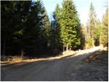 2
2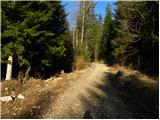 3
3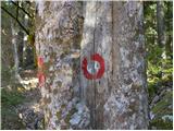 4
4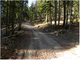 5
5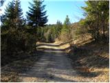 6
6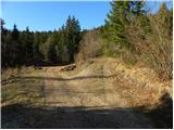 7
7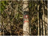 8
8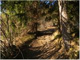 9
9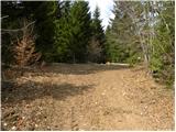 10
10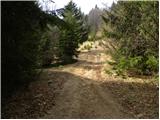 11
11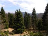 12
12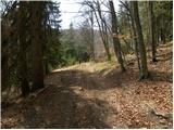 13
13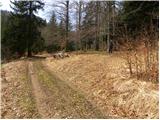 14
14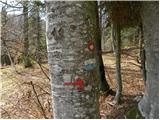 15
15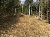 16
16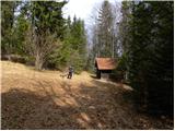 17
17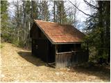 18
18 19
19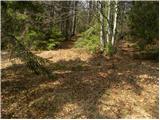 20
20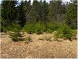 21
21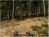 22
22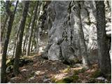 23
23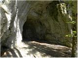 24
24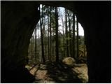 25
25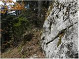 26
26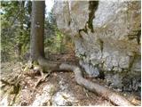 27
27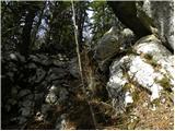 28
28 29
29 30
30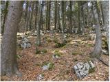 31
31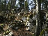 32
32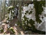 33
33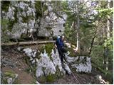 34
34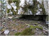 35
35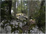 36
36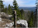 37
37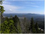 38
38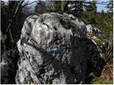 39
39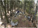 40
40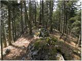 41
41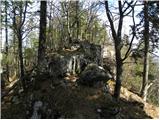 42
42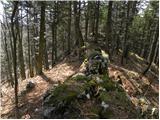 43
43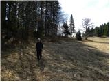 44
44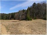 45
45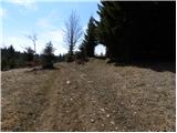 46
46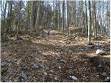 47
47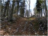 48
48 49
49 50
50 51
51 52
52 53
53