Matizovec - Planina Ilovica
Starting point: Matizovec (915 m)
Starting point Lat/Lon: 46.4145°N 14.3°E 
Time of walking: 1 h 55 min
Difficulty: easy marked way
Difficulty of skiing: no data
Altitude difference: 547 m
Altitude difference (by path): 580 m
Map: Karavanke - osrednji del 1:50.000
Access to starting point:
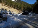
From highway Ljubljana - Jesenice we go to the exit Ljubelj and follow the road ahead towards the border crossing. Main road we leave at the spot, where signs for »camp and Podljubelj« point us to the right. When we leave the main road, we will already after few meters come on crossroad, where we continue left in the direction of »Kofce«. Further, we drive through the village on a slightly ascending road and then we turn right in the direction of »Matizovec and Kofce«. This occasionally a little more narrow road which is in the lower part asphalt, we then follow to a larger marked parking lot, about 150 altitude meters below the farm Matizovec.
Path description:
From large free parking lot we continue on a macadam road, on which in approximately 20 minutes we get to the farm Matizovec.
From Matizovec we continue on a rough road in the direction of Dom na Kofcah, and on some successive crossings, we carefully follow the blazes. After few minutes of walking on a rough road or cart track, blazes point us on a steep footpath which at first ascends diagonally towards the left and then passes on a forested ridge, where it turns a little to the right. Further, we are ascending on a steep mountain path, which higher crosses a cart track and behind it gradually flattens. Only a little further, forest gets thinner, and marked path turns right in the forest and a little higher joins the cart track which is ascending diagonally towards the right. Cart track higher turns to the left, and from the right joins also the marked path from Kal.
From the crossing ahead forest ends, and more and more scenic path in 5 minutes of additional walking brings us to the mountain hut Dom na Kofcah.
From Dom na Kofcah we continue right in the direction of the mountain pasture Šija. The path at first in a gentle descent crosses slopes towards the east, and then joins a wide cart tracks, which brings us out of the forest on the mountain pasture Ilovica.
Pictures:
 1
1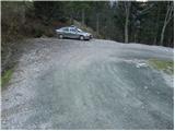 2
2 3
3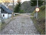 4
4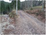 5
5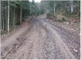 6
6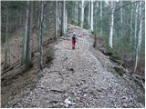 7
7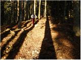 8
8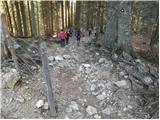 9
9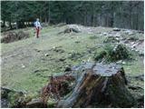 10
10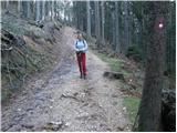 11
11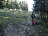 12
12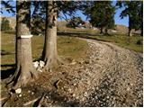 13
13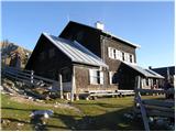 14
14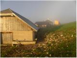 15
15 16
16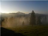 17
17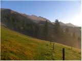 18
18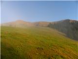 19
19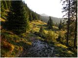 20
20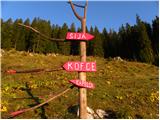 21
21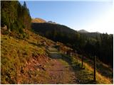 22
22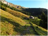 23
23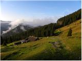 24
24 25
25