Medvodje - Ruš (via Pri lojtri)
Starting point: Medvodje (898 m)
Starting point Lat/Lon: 46.4096°N 14.4016°E 
Path name: via Pri lojtri
Time of walking: 2 h 30 min
Difficulty: partly demanding unmarked way
Difficulty of skiing: no data
Altitude difference: 716 m
Altitude difference (by path): 735 m
Map: Karavanke - osrednji del 1:50.000
Access to starting point:
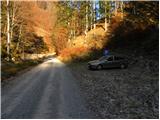
From highway Ljubljana - Jesenice we go to the exit Podnart (Ljubelj), and then we continue driving on the road towards Ljubelj and Tržič. When "fast road" ends (blue sign), we will on the right side notice gas station, in front of which we turn right downwards towards Tržič. Further, we drive through Tržič, and we follow the narrower road towards the gorge Dovžanova soteska and then through the village Dolina and Jelendol to a hamlet Medvodje. Here at the first crossroad we continue right in the direction of waterfall Stegovniški slap (left Košutna and mountain pasture Dolga njiva), and in the second crossroad left by the river Tržiška Bistrica (right waterfall Stegovniški slap). Further, we are gently ascending by the upper stream of Tržiška Bistrica, and we follow the road to a marked parking lot, where we park.
Path description:
From the parking lot, we continue on a gently sloping road which is ascending by the river Tržiška Bistrica. And we soon get to a gate, behind which we go at the unmarked crossroad. Here we continue on the right road which starts ascending by the stream Fevča, and we leave the stream at the first sharp right turn. From the road which becomes a little steeper, for some time a view opens up a little on Košutnikov turn, and then it turns to the left and crosses a lane of a forest. The road then with a view on Dobrča and nearby Stegovnik, brings us to the next crossroad, where we continue straight (the right road ends in nearby forests). We still walk on the road and after few minutes we get to the next crossroad. This time we continue left (straight the road which leads towards the slopes below Konjščica, and the right road quickly ends) on a gradually more and more panoramic road which crosses slopes towards the left. At the next crossroad, we continue sharply right and through the forest, we ascend to the next crossroad, where we continue left. The road then becomes a little steeper, and we walk there to the next plain or road expansion. Here slightly to the right unmarked cart track branches off, on which we start ascending steeper. After few minutes, wide cart track turns a little to the left, and at this spot, we choose the right, at first a little harder followable. Higher at few crossings we choose the left direction and on a worse footpath we ascend on a saddle Pri lojtri, where we reach a marked path from Jezersko.
Here we continue left in the direction of Brsnina (slightly left - Jezersko, slightly right - Javornik, right - Stegovnik) on a marked path, which at first moderately ascends through a dense forest and then it flattens and it brings us on a cart track which the marked path only crosses, and we follow it to the right. On the cart track, we at first walk to a smaller panoramic saddle, and from there we continue slightly left, on a worse footpath to the nearby southwestern ridge of Ruš. We continue the ascent on a worse, but easy to follow footpath which continues on and by the already mentioned ridge. Higher, the path ascends on a short very steep slope, where mainly in wet there is a danger of slipping. On the top of this steep part we step on a secondary peak, from which follows a short descent and then an ascent on the main peak of Ruš.
On the way: Pri lojtri (1486m)
Pictures:
 1
1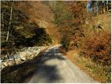 2
2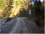 3
3 4
4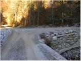 5
5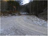 6
6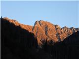 7
7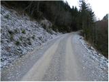 8
8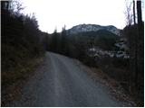 9
9 10
10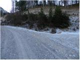 11
11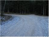 12
12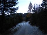 13
13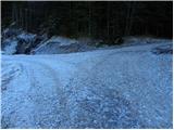 14
14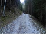 15
15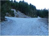 16
16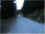 17
17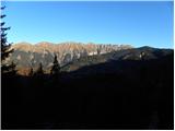 18
18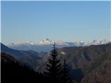 19
19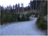 20
20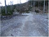 21
21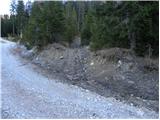 22
22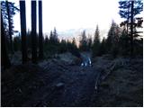 23
23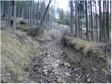 24
24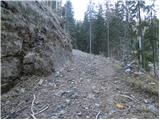 25
25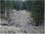 26
26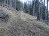 27
27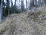 28
28 29
29 30
30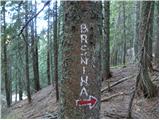 31
31 32
32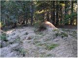 33
33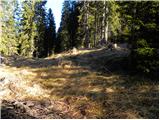 34
34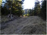 35
35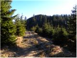 36
36 37
37 38
38 39
39 40
40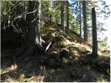 41
41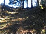 42
42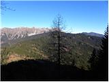 43
43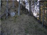 44
44 45
45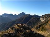 46
46 47
47 48
48 49
49 50
50 51
51