Mežica - Štalekarjev vrh (on ski slope)
Starting point: Mežica (495 m)
Starting point Lat/Lon: 46.5164°N 14.8514°E 
Path name: on ski slope
Time of walking: 45 min
Difficulty: easy unmarked way
Difficulty of skiing: no data
Altitude difference: 297 m
Altitude difference (by path): 297 m
Map: Koroška 1:50.000
Access to starting point:
From Črna na Koroškem or from Ravne na Koroškem, or through the border crossing Holmec or Mežica, we drive to Mežica, where signs for cemetery Mirje point us towards the west on a local road. We drive also past the old cemetery, and then we park on a marked parking lot.
Path description:
From the starting point, we continue on the asphalt road upwards, when the road turns left, we leave it and we continue straight on a cart track in the direction of Pikovo. We continue on a cart track which is ascending on the route of a former ski track, and today by the path, we notice field for disc golf Mežica. At first when we look back we also see Mežica and surrounding hills, and then the path by which there almost aren't any blazes, passes into a small valley between 729 meters high hill on the left (on maps unnamed peak), and Štalekarjev vrh on the right. When the valley turns towards the west, from the ski track to the left a marked path branches off, which leads towards the mountain hut Koča na Pikovem, and we still continue on a former ski track which for some time becomes a little steeper. Higher, the ski slope narrows and turns sharply to the right, and when it again widens in few 10 strides we ascend on a panoramic saddle.
From the saddle, from where a beautiful view opens up, which reaches all the way to Golica / Koralpe, we continue right and we ascend to the top of the former ski slope, and for the ascent to the highest point of Štalekarjev vrh on the right we look for a footpath, on which in a minute of additional walking, we reach the peak.
Description and pictures refer to a condition in the year 2018 (May).
Pictures:
 1
1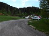 2
2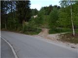 3
3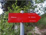 4
4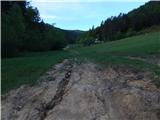 5
5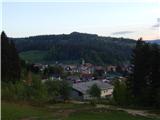 6
6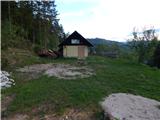 7
7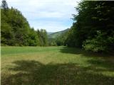 8
8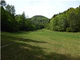 9
9 10
10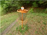 11
11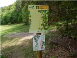 12
12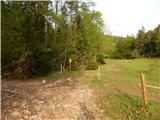 13
13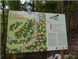 14
14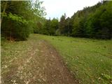 15
15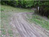 16
16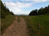 17
17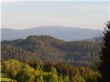 18
18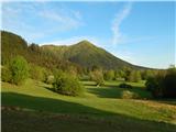 19
19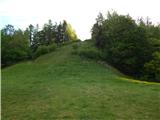 20
20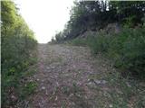 21
21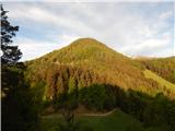 22
22 23
23 24
24