Mežica - Veliki vrh (above Mežiška dolina) (via Pikov vrh)
Starting point: Mežica (495 m)
Starting point Lat/Lon: 46.5164°N 14.8514°E 
Path name: via Pikov vrh
Time of walking: 2 h 40 min
Difficulty: easy unmarked way
Difficulty of skiing: no data
Altitude difference: 670 m
Altitude difference (by path): 730 m
Map: Koroška 1:50.000
Access to starting point:
From Črna na Koroškem or from Ravne na Koroškem, or through the border crossing Holmec or Mežica, we drive to Mežica, where signs for the cemetery Mirje point us towards the west on a local road. We also drive past the old cemetery, and then we park on a marked parking lot.
Path description:
From the starting point, we continue on the asphalt road upwards; when the road turns left, we leave it and continue straight on a cart track in the direction of Pikov vrh. We continue on the cart track, which ascends along the route of a former ski slope, and today along the path we notice the disc golf course Mežica. At first, looking back, we still see Mežica and the surrounding hills; then the path, along which there are almost no blazes, enters a small valley between the 729-meter-high hill on the left (unnamed peak on maps) and Štalekarjev vrh on the right. When the valley turns towards the west, a marked cart track branches off to the left from the ski slope, which we follow. The cart track quickly turns even a little more to the left and then ascends diagonally up to the ridge, where we continue right in the direction of the Koča na Pikovem mountain hut. For some time the path follows the ridge, then gradually turns slightly left onto the slopes over which we mostly ascend transversely. Higher up, we bypass the Jesenik homestead from the lower left side, where the path takes us past the ruins of an old house. A little further on, we cross a macadam road (to the left we descend into the valley or continue to the Koča na Pikovem along the old path; to the right, Jesenik homestead), then we ascend more steeply on the cart track, following it all the way to the saddle from which a view opens towards the southwest.
From the saddle, we continue straight in the direction of the Koča na Pikovem mountain hut and quickly descend to the point where we join the Vrh šteng - Koča na Pikovem path.
We follow the path to the left; a little further, an old path also joins from the left. We continue again in the direction of the Koča na Pikovem mountain hut and ascend through the forest to a wooden cross, beside which there is a quite old bench.
At the mentioned landmark, we leave the marked path and continue left on a trail that begins to ascend steeply through the forest. After a few minutes of ascent, we join the path leading from the Pik homestead, but we continue left on the gradually less steep path, which we follow to the nearby Pikov vrh, where a wooden lookout tower stands.
We bypass the lookout tower on the right side, then first descend slightly along the ridge before the path continues with some shorter ascents and descents. When we are already quite close to Veliki vrh, a path branches off to the right to the Pikove jame caves; we continue left and ascend transversely to the transmitters on Veliki vrh; the logbook box is a few steps further to the right.
Mežica - Pikov vrh 2:00, Pikov vrh - Veliki vrh 40 minutes.
Description and pictures refer to the condition in 2018 (May).
Pictures:
 1
1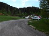 2
2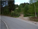 3
3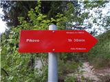 4
4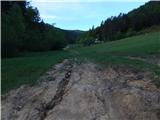 5
5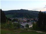 6
6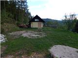 7
7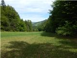 8
8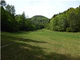 9
9 10
10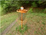 11
11 12
12 13
13 14
14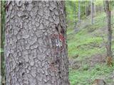 15
15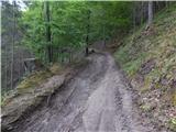 16
16 17
17 18
18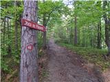 19
19 20
20 21
21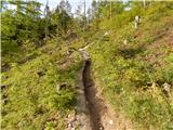 22
22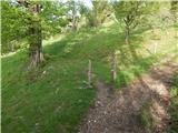 23
23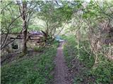 24
24 25
25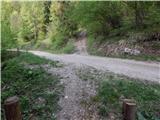 26
26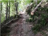 27
27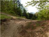 28
28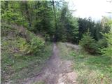 29
29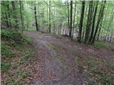 30
30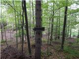 31
31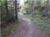 32
32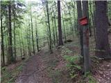 33
33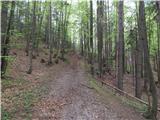 34
34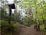 35
35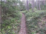 36
36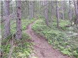 37
37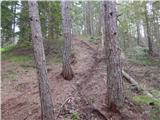 38
38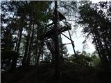 39
39 40
40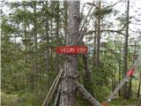 41
41 42
42 43
43 44
44 45
45 46
46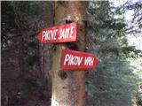 47
47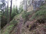 48
48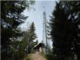 49
49 50
50 51
51