Mladinski dom Hodoš - Határkőpark
Starting point: Mladinski dom Hodoš (291 m)
Starting point Lat/Lon: 46.84155°N 16.33498°E 
Time of walking: 1 h 15 min
Difficulty: easy marked way
Difficulty of skiing: no data
Altitude difference: 14 m
Altitude difference (by path): 75 m
Map: Pomurje 1:40.000
Access to starting point:
We drive to Murska Sobota, and then we follow the signs for Hodoš. When we reach Hodoš, we turn left towards the center of the settlement, and then follow the signs for the Mladinski dom Hodoš, where the described path begins. Before the cottage, there aren't any parking spots for mountaineers.
Path description:
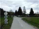
Fenced area of the Mladinski dom Hodoš we bypass on the right side, on the eastern side of the fenced area we briefly continue on the road, and then signs direct us to the left into the forest, where we quickly merge with the path from the border crossing Hodoš and the starting point.
Here the path turns slightly to the left, away from the border crossing Hodoš, and begins descending on the Slovenian side of the national border. When the descent ends, we cross a border stream and swampy area via a small wooden bridge. The path then continues on the Hungarian side of the national border, where we follow Hungarian signs. For quite some time, we walk slightly to the right of the national border in a lane of clearing, where the path is somewhat overgrown in parts but remains relatively easy to follow and marked. Later, we reach the border stones again and, passing a small natural lake, arrive in a few minutes at the historical park Határkőpark, situated by border stone A 180.
Description and pictures refer to the condition in February and March 2024.
Pictures:
 1
1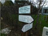 2
2 3
3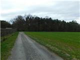 4
4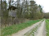 5
5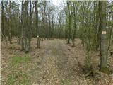 6
6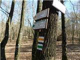 7
7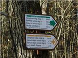 8
8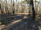 9
9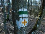 10
10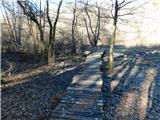 11
11 12
12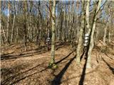 13
13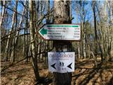 14
14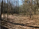 15
15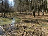 16
16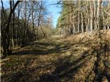 17
17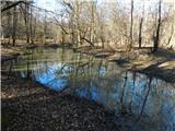 18
18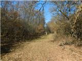 19
19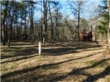 20
20 21
21