Mlinše - Pleše (via Zasavska Sveta gora)
Starting point: Mlinše (388 m)
Starting point Lat/Lon: 46.146°N 14.8807°E 
Path name: via Zasavska Sveta gora
Time of walking: 2 h 30 min
Difficulty: easy marked way
Difficulty of skiing: no data
Altitude difference: 478 m
Altitude difference (by path): 630 m
Map:
Access to starting point:
A) From highway Ljubljana - Maribor, we go to the exit Trojane, and then we continue driving in the direction of Izlake and Zagorje. At the end of the settlement Izlake we turn right towards Moravče, and we follow the road to the settlement Mlinše, where immediately after the sports field, the road branches off to the left towards Zasavska Sveta gora. At the starting point, there aren't any appropriate parking spots, or they are intended for guests of the nearby restaurant.
B) From Zasavje we at first drive to Zagorje, and then we continue driving towards Izlake. At the crossroad at the beginning of Izlake we continue left in the direction of Moravče, and we follow the road to the settlement Mlinše, where immediately after the sports field, the road branches off to the left towards Zasavska Sveta gora. At the starting point, there aren't any appropriate parking spots, or they are intended for guests of the nearby restaurant.
Path description:
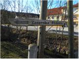
From the village Mlinše, we go on an asphalt road in the direction of Zasavska Sveta gora. The road at first leads past few houses, and then it ascends to the neighbouring village Zabava, where at the crossroad at the chapel, we continue right. We continue through the village, and the road at the end of the village changes into a cart track which leads us through panoramic meadows. Higher, we get to the next village or to a hamlet Breznik.
Here we at first cross a nearby road, and then we ascend through some yards, to a poorly beaten footpath which ascends through a meadow to the nearby slopes, on which it starts ascending diagonally. A little higher, the footpath brings us on a cart track which we follow to the right, and it quickly brings us to the village Ravne pri Mlinšah. When we already pass the village and the road turns a little to the right, from the left joins a marked path from Izlake.
Here we continue straight to the nearby crossroad at the chapel, where we also notice some mountain signposts.
We continue straight across the road on a marked footpath in the direction of Zasavska Sveta gora. We continue on a cart track which quickly passes into the forest and turns to the right. Further, we are ascending on an old cart track which at the crossings we follow in the direction where blazes point us to. Higher, the cart track splits into two parts, and we choose the left (right - Zasavska Sveta gora 5 minutes). After a shorter crossing towards the left, we step on an asphalt road, on which in few steps we walk to the mountain hut.
From the mountain hut, we continue on the road, on which in few minutes we descend to a smaller crossroad, where we continue left in the direction of the settlement Vidrga and Roviški vrh. After few 10 meters of additional walking, a marked footpath branches off to the right on Roviškovec, and we still continue on the road which is gently to moderately descending. And after few minutes of descent, we get to a smaller crossroad, where we continue right upwards in the direction of Pleše. Further, we are for some time moderately ascending on the asphalt road, and from the right joins also the path from the peak of Roviškovec. From the road, on which we continue, soon a macadam road branches off to the left, which we "ignore", and on the asphalt we walk only few 10 strides, and then signs for Zagorje, point us to the left on at first a narrower, and higher a wider cart track. The path ahead leads us past a meadow to a wider macadam road, and further it leads through an extensive meadow, from which a nice view opens up on Kamnik Savinja Alps. On the other side of the meadow, the road splits into two parts, and we go right following the signs Pleše. The path ahead ascends through a lane of a forest and then it flattens and it brings us on a larger and quite gentle grassy slope of the nearby peak Pleše. Here we walk to the other side of the hill, and then before the marked path towards Marela starts descending, we continue left on a cart track. We short time continue on a cart track, and then on the left side we notice a metal pole (a pole intended for hoisting a flag) and below it NOB monument.
From the monument we can continue also a little more towards the north, at first slightly downwards and then also upwards to the northern part of the peak Pleše.
Pictures:
 1
1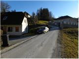 2
2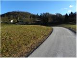 3
3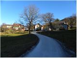 4
4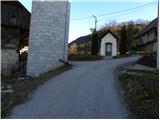 5
5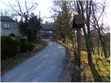 6
6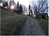 7
7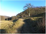 8
8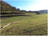 9
9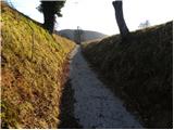 10
10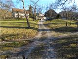 11
11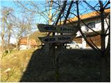 12
12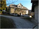 13
13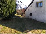 14
14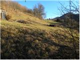 15
15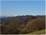 16
16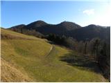 17
17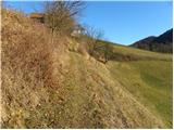 18
18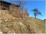 19
19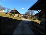 20
20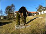 21
21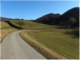 22
22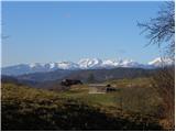 23
23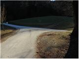 24
24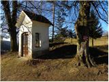 25
25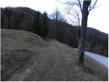 26
26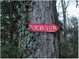 27
27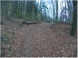 28
28 29
29 30
30 31
31 32
32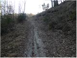 33
33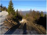 34
34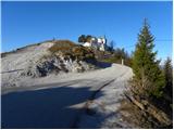 35
35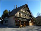 36
36 37
37 38
38 39
39 40
40 41
41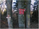 42
42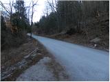 43
43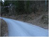 44
44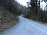 45
45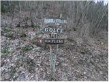 46
46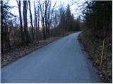 47
47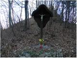 48
48 49
49 50
50 51
51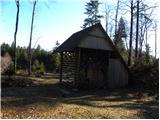 52
52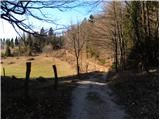 53
53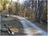 54
54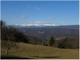 55
55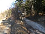 56
56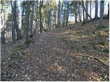 57
57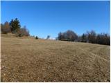 58
58 59
59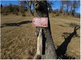 60
60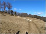 61
61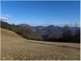 62
62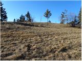 63
63 64
64