Starting point: Mojstrana (720 m)
Starting point Lat/Lon: 46.452°N 13.936°E 
Time of walking: 2 h 20 min
Difficulty: easy marked way
Difficulty of skiing: partly demanding
Altitude difference: 873 m
Altitude difference (by path): 873 m
Map: TNP 1:50.000
Access to starting point:
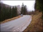
We leave Gorenjska highway at exit Hrušica and follow the road ahead in the direction of Kranjska Gora. Just a little before the village Dovje the road which goes to Mojstrana (Vrata, Kot and Krma) branches off to the left. We follow the road ahead in the direction of village Radovna and the valleys Krma and Kot. The relatively steep road then runs past the sign TNP, near which we park on a parking lot on the right side of the road (on the opposite side of the parking lot, we notice wooden signposts for Jerebikovec and Mežakla).
Path description:
From the parking lot, we cross the road and walk to the signposts, where the path to Jerebikovec begins. The path, which initially follows a cart track, enters the forest right at the start and ascends steeply up the slope. After two minutes of walking, there is a smaller junction, where we continue straight ahead (the right cart track gets lost in the forest). The cart track then turns into a steep footpath, which leads us along the northwestern slopes into an indistinct little valley between two side ridges of Jerebikovec. Through this valley, the path brings us to one of the side ridges of the aforementioned mountain, where there is a bench offering a well-deserved rest with a view of Kepa.
We continue to the right, first along the ridge, then the path switches to steep slopes up which we ascend. After an hour and a half of walking, the steepness suddenly disappears and the path brings us to another bench located at the monument to the fallen partisans on the mountain pasture Mežakla.
Here the path goes right and almost horizontally crosses the edge of the abandoned mountain pasture Mežakla. Just a little further on, we reach the road at Tilčev rovt. We follow this road for a good 5 minutes to the point where a signpost directs us right uphill into the slopes of Jerebikovec. The path ascends steeply again and brings us to a small ridge, where the steepness eases briefly. From the ridge, the path brings us back to the upper slopes of the aforementioned peak. After a few minutes, the path brings us back to the ridge, which we follow onwards. Further on, the path mostly runs a few meters below the ridge, which is covered in forest. A few meters below the summit, the forest ends and we see a small shack (emergency bivouac) on the top ahead of us.
Starting point - bench 45 minutes, bench - monument 50 minutes, monument - Jerebikovec 45 minutes.
On the way: Planina Mežakla (1350m)
Pictures:
 1
1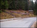 2
2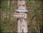 3
3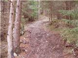 4
4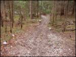 5
5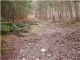 6
6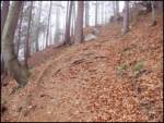 7
7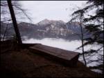 8
8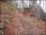 9
9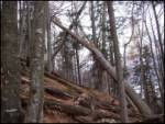 10
10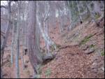 11
11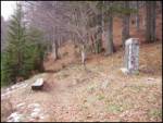 12
12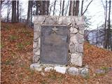 13
13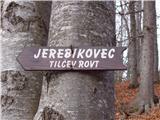 14
14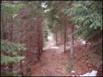 15
15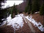 16
16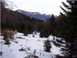 17
17 18
18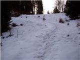 19
19 20
20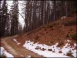 21
21 22
22 23
23 24
24 25
25 26
26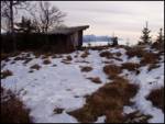 27
27 28
28