Molnarjev breg - Kamniški vrh
Starting point: Molnarjev breg (1200 m)
Starting point Lat/Lon: 46.2803°N 14.5359°E 
Time of walking: 1 h 30 min
Difficulty: easy marked way
Difficulty of skiing: more demanding
Altitude difference: 59 m
Altitude difference (by path): 200 m
Map: Kamniške in Savinjske Alpe 1:50.000
Access to starting point:
A) From the Ljubljana–Jesenice highway, take the Vodice exit, then continue driving to the first traffic-light intersection in Vodice, where you continue left towards Cerklje na Gorenjskem and Brnik. When you arrive at the main roundabout in Spodnji Brnik, continue driving towards Cerklje and Krvavec ski resort. At the end of the settlement Cerklje na Gorenjskem, leave the main road which continues towards Velesovo and Visoko, and continue driving slightly right onto the road towards the Krvavec ski resort. Further on, arrive at the village Grad, where signs for the settlement Ambrož pod Krvavcem direct you right onto a steep asphalt road (straight ahead: lower station of the circular-cable gondola to Krvavec and Štefanja Gora). When the steepness on the steep road eases somewhat, you will arrive at an intersection, where you continue left towards the settlement Ambrož pod Krvavcem (straight ahead: settlements Ravne, Apno and Šenturška Gora). A little further, the road temporarily descends a little, then ascends through occasionally quite panoramic slopes. Higher up, arrive at Ambrož pod Krvavcem, where you bypass the church of St. Ambrož and the tourist farm Pr Ambružarju on the left side. From the tourist farm onwards, the road enters the forest and relatively steeply ascends diagonally. When you arrive at the left serpentine, you are at the starting point, where you park in a suitable spot near the small intersection.
B) From the Jesenice–Ljubljana highway, take the Kranj-East exit, then continue driving towards Brnik, Komenda and Mengeš. When you arrive at the main roundabout in Spodnji Brnik, continue driving towards Cerklje and Krvavec ski resort. At the end of the settlement Cerklje na Gorenjskem, leave the main road which continues towards Velesovo and Visoko, and continue driving slightly right onto the road towards the Krvavec ski resort. Further on, arrive at the village Grad, where signs for the settlement Ambrož pod Krvavcem direct you right onto a steep asphalt road (straight ahead: lower station of the circular-cable gondola to Krvavec and Štefanja Gora). When the steepness on the steep road eases somewhat, you will arrive at an intersection, where you continue left towards the settlement Ambrož pod Krvavcem (straight ahead: settlements Ravne, Apno and Šenturška Gora). A little further, the road temporarily descends a little, then ascends through occasionally quite panoramic slopes. Higher up, arrive at Ambrož pod Krvavcem, where you bypass the church of St. Ambrož and the tourist farm Pr Ambružarju on the left side. From the tourist farm onwards, the road enters the forest and relatively steeply ascends diagonally. When you arrive at the left serpentine, you are at the starting point, where you park in a suitable spot near the small intersection.
Path description:
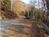
From the starting point, head onto the forest road crossing the slopes of Molnarjev breg. Ascend slightly along the road, then reach a smaller junction, continuing slightly left along the upper road (the lower road or cart track soon ends), beside which you also notice the blazes. Follow a few more minutes of diagonal ascent along the road, from which occasional views open up. A little further, the road forks again; again choose the left upper road, from which a steep cart track branches left just a few dozen steps ahead. Continue along the road to the right bend.
From the bend, continue straight onto the marked footpath, which continues diagonally through the forest. In the forest, quickly reach a marked junction, continuing straight towards Kamniški vrh (right down to Kamniški vrh via mountain pasture Osredek). Follow a few more minutes of traversing, then reach the eastern ridge of Kržišče, a few steps further to the marked junction.
Continue slightly right (left to Kriška planina) along the path, which begins to descend along or slightly north of the vegetated ridge. At a smaller saddle (1200 m) between the massifs of Krvavec and Kamniški vrh, a path from mountain pasture Osredki joins from the right; continue straight along the path running on the northern side of the ridge. After a short traverse, where the path approaches the ridge completely, an unmarked path to Planjava branches slightly right; continue along the left, northern side of the ridge. Follow the traverse of the steeper northern slope of Planjava, then, once east of Planjava, return to the ridge. Upon reaching the ridge, descend a little further east, then arrive at a marked junction, joining the more trodden path from Stahovica and Županjih Njiv.
Here continue straight and begin steeply ascending the panoramic western ridge of Kamniški vrh. After about 10 minutes of ascent, reach Kamniški vrh; continuing another minute brings you to the bivouac on Kamniški vrh.
Description and pictures refer to the condition in 2015 (November).
Pictures:
 1
1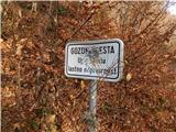 2
2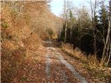 3
3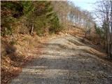 4
4 5
5 6
6 7
7 8
8 9
9 10
10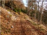 11
11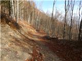 12
12 13
13 14
14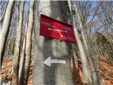 15
15 16
16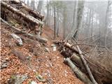 17
17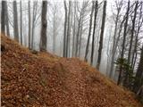 18
18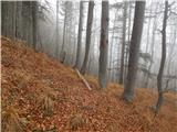 19
19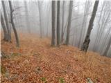 20
20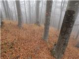 21
21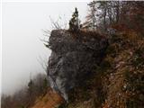 22
22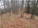 23
23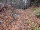 24
24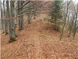 25
25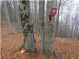 26
26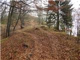 27
27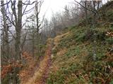 28
28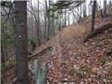 29
29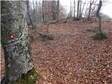 30
30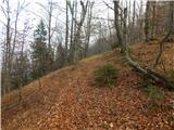 31
31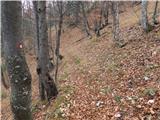 32
32 33
33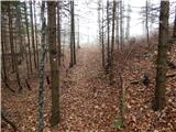 34
34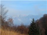 35
35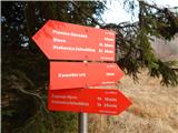 36
36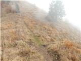 37
37 38
38 39
39 40
40 41
41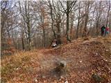 42
42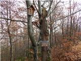 43
43 44
44