Starting point: Moravče (379 m)
Starting point Lat/Lon: 46.1357°N 14.7446°E 
Time of walking: 1 h 15 min
Difficulty: easy marked way
Difficulty of skiing: no data
Altitude difference: 319 m
Altitude difference (by path): 330 m
Map: Ljubljana - okolica 1:50.000
Access to starting point:
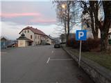
A) From highway Ljubljana - Maribor we go to the exit Krtina, and then we continue driving in the direction of Moravče. In Moravče we continue right and we park on a marked parking lot near the parish church.
B) From the direction Zasavje at first we drive in Izlake, and from there we continue driving towards Moravče. In Moravče, at the crossroad near the church, where the main road turns right, we continue straight and we park on a marked parking lot near the parish church.
Path description:
From the center of Moravče we continue by the main road which leads towards Izlake. We at first walk on a sidewalk, a little after company Nissan Krulc, we go slightly right on the road in the direction of settlements Ribče and Dešen and mountain hut Planinski dom Ušte - Žerenk. The path ahead starts ascending on a little narrower asphalt road, from which when we look back a nice view opens up towards Limbarska gora, and in good visibility, the view reaches all to the highest peaks of Kamnik Savinja Alps. Soon after Moravče ends, we get to a hamlet Podbrdo, where we leave the asphalt road and we continue left in the direction of the mountain hut and Sveti Miklavž.
Behind the houses, which we bypass on the left side, the path goes into the forest and starts ascending a little more, and quite quickly it also splits.
We choose the left path (right Sveti Miklavž), which is ascending diagonally towards the left, and higher it widens into a newer cart track. Few minutes we are ascending on the mentioned cart track, and then again on a footpath which higher crosses the macadam road, and few 10 strides higher we reach an asphalt road which we follow to the left. We walk on the road to a smaller saddle, where the marked path towards the mountain hut Planinski dom Ušte - Žerenk turns left through a meadow, and we continue right on a cart track which through a meadow quickly passes into the forest. Next follows few minutes of a light to moderate ascent through the forest and we get to the top of Gorišca, where there stands a transmitter.
Description and pictures refer to a condition in the year 2018 (December).
Pictures:
 1
1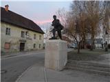 2
2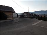 3
3 4
4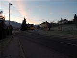 5
5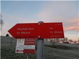 6
6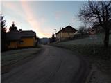 7
7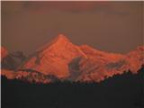 8
8 9
9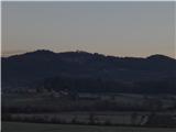 10
10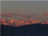 11
11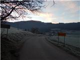 12
12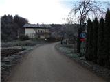 13
13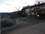 14
14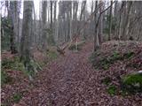 15
15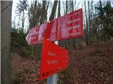 16
16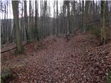 17
17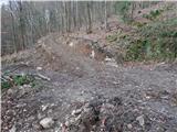 18
18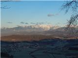 19
19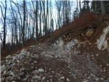 20
20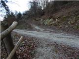 21
21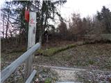 22
22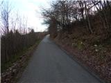 23
23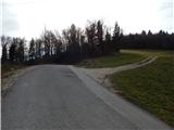 24
24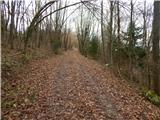 25
25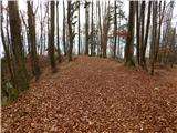 26
26 27
27