Moravske Toplice - Gravel pit Ivanci (on E7 path)
Starting point: Moravske Toplice (190 m)
Starting point Lat/Lon: 46.6851°N 16.21835°E 
Path name: on E7 path
Time of walking: 1 h 30 min
Difficulty: easy marked way, easy unmarked way
Difficulty of skiing: no data
Altitude difference: -13 m
Altitude difference (by path): 5 m
Map: Pomurje 1:40.000
Access to starting point:
A) We leave Pomurska highway at exit Gančani, and then we follow the signs for Bogojina and Moravske Toplice. In Bogojina we go left and we drive to Moravske Toplice, where a little before the end of the settlement, we turn left towards Prekmurska vas Ajda (we turn left after the store Mercator, which is on the left side of the road). We park about 100 meters ahead on a large parking lot before holiday cottages.
B) We drive to Murska Sobota, and then we follow the signs for Moravske Toplice. When we get to Moravske Toplice, immediately at the beginning of the settlement, we turn right towards Prekmurska vas Ajda. We park about 100 meters ahead on a large parking lot before holiday cottages.
Path description:
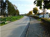
From the parking lot, we continue towards the south and the road soon turns left and for some time turns towards the east. We soon again continue towards the south, and when the road turns left again, we go slightly right on a narrower asphalt road which continues by the golf fields. The path ahead leads us also past the Tešanovci gravel pit or the Moravske Toplice pond, and when we reach a crossroads on the periphery of the Mlajtinci settlement, we turn left (right leads to Noršinci). Only a little further, at the unmarked crossroads, we turn right (straight continues the tourist path marked with yellow signposts), and then past a few houses in the Mlajtinci settlement, we reach the main Murska Sobota - Ivanci road, where signs for the European footpath E7 direct us to the left.
Further, we initially walk on a sidewalk, and at the nearby crossroads, we continue slightly right on the main road (slightly left leads to Gostišče Oaza). The sidewalk and the settlement soon end, and the path leads us also past the football field and the Hiša iz volne apartments. The path ahead continues along the edge of the road, where we pass by fields and partly through the forest. When the forest ends, we are getting closer to the Ivanci settlement; just before we reach the first house on the right, we notice the Ivanci pond.
We continue through the settlement; when we reach the chapel, we leave the E7 path and, before the chapel, turn left towards the cemetery. The houses in the settlement quickly end, and past a large greenhouse, which is located just before the cemetery, we turn right onto a cart track, which soon leads us to an embankment by the Ivanci gravel pit; if we ascend the embankment, a nice view opens up over the gravel pit.
The description and pictures refer to the condition in November 2022 and August 2023.
On the way: Gramoznica Tešanovci (188m), Mlajtinci (184m), Ivanci (179m)
Pictures:
 1
1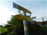 2
2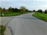 3
3 4
4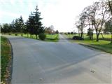 5
5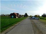 6
6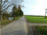 7
7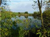 8
8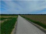 9
9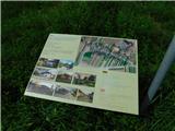 10
10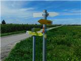 11
11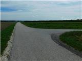 12
12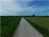 13
13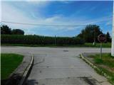 14
14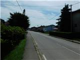 15
15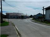 16
16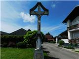 17
17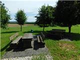 18
18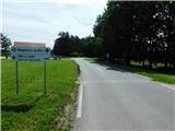 19
19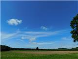 20
20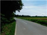 21
21 22
22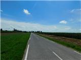 23
23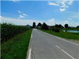 24
24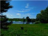 25
25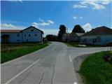 26
26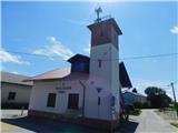 27
27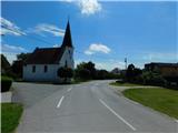 28
28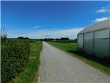 29
29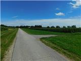 30
30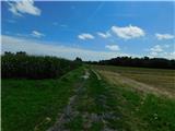 31
31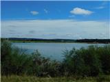 32
32